
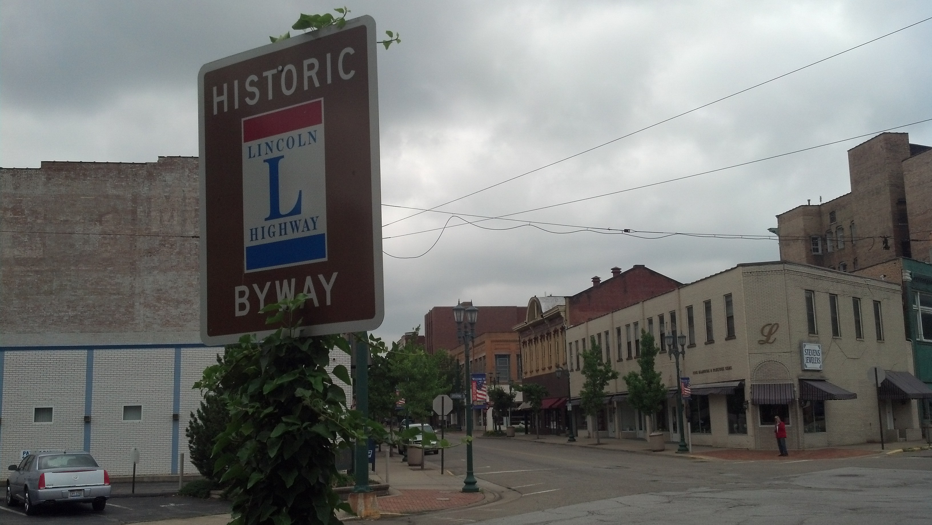
Broadway and E. 5th Street in East Liverpool, Ohio (Photo by Michael E. Grass)
EAST LIVERPOOL, Ohio — Heading west out of Pittsburgh on the Lincoln Highway, you’re confronted with a few options to reach this well-worn Ohio River town opposite the tip of West Virginia’s northern panhandle and just west of the Pennsylvania state line.
The original route of highway stayed on the north bank of the river via Beaver, Pa. The second-generation route, according to the Lincoln Highway Association’s official map, kept the highway on the south bank to Monaca, Pa., before crossing to Beaver and onward to East Liverpool. The road conditions in this part of Pennsylvania were notoriously bad, so the Lincoln Highway Association pressed for a new road to be built.
But the third-generation route, today’s U.S. 30, took the Lincoln Highway on a much more southern alignment via Chester, W.Va., “an unintentional byproduct of the bad roads in Pennsylvania,” according to a 2004 National Park Service assessment of the Lincoln Highway. Beyond Pittsburgh’s western suburbs and exurbs, U.S. 30 — which lacks any Lincoln Highway signage — meanders through some beautiful hilly farm country and forests.
But I barely realized I had crossed into West Virginia — the Lincoln Highway is only about five miles long in the northern panhandle — when I reached the Ohio River, crossed over into Ohio and quickly passed downtown East Liverpool on the modern expressway hugging the riverbank. Strangely, “Foot and Mouth ’68,” an eerie and uncomfortably ambient instrumental track from Gorky’s Zygotic Mynci‘s The Blue Trees album, just happened to be playing in my rental car’s CD player.
I should have taken it as a sign that venturing into the town itself was going to be very, very creepy. Continue reading
