A Fine View ‘Extending in Every Direction as Far as the Eye Can Reach’

2013-06-13 13.54.00

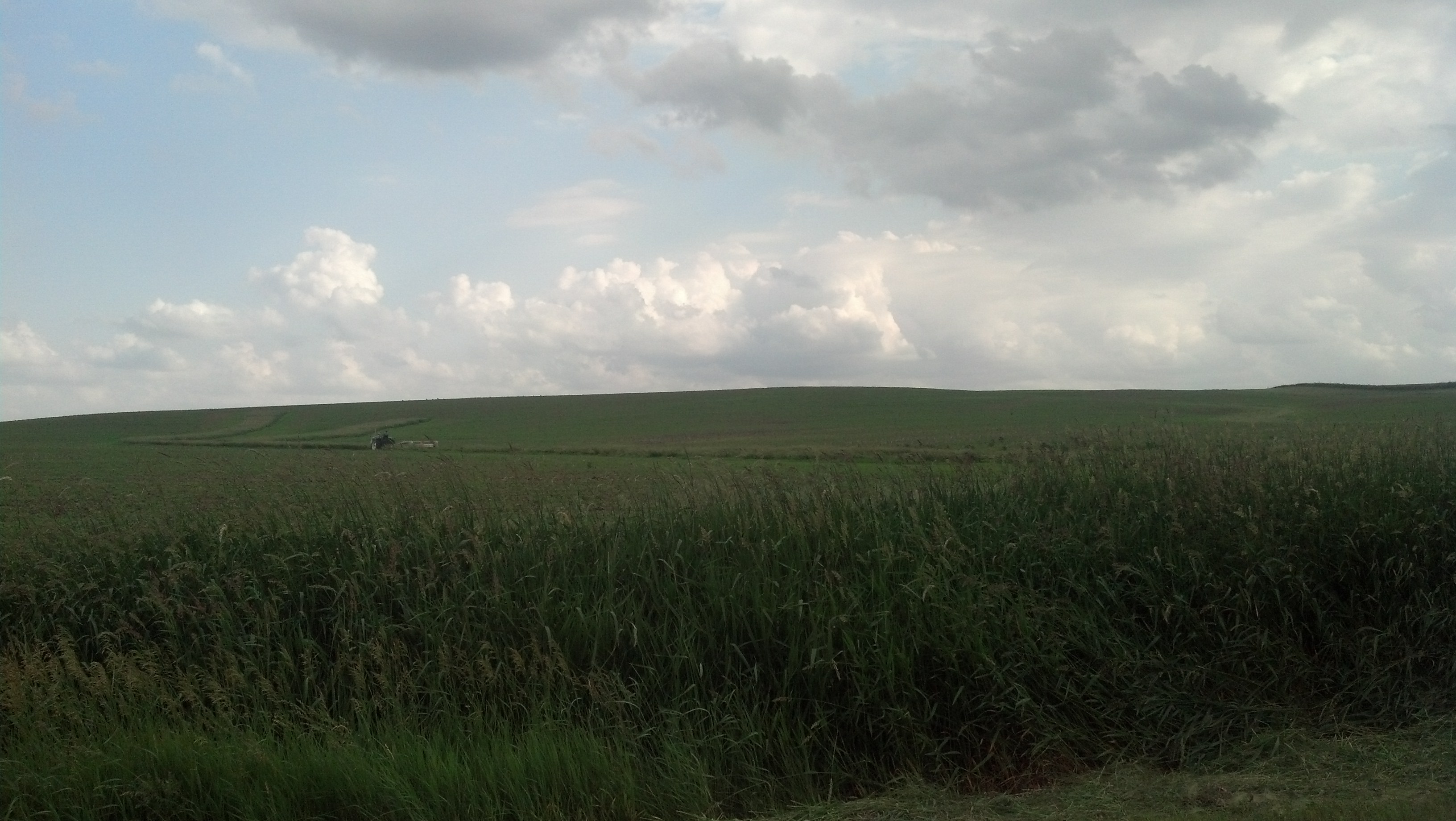
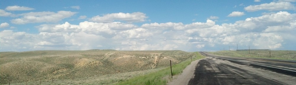
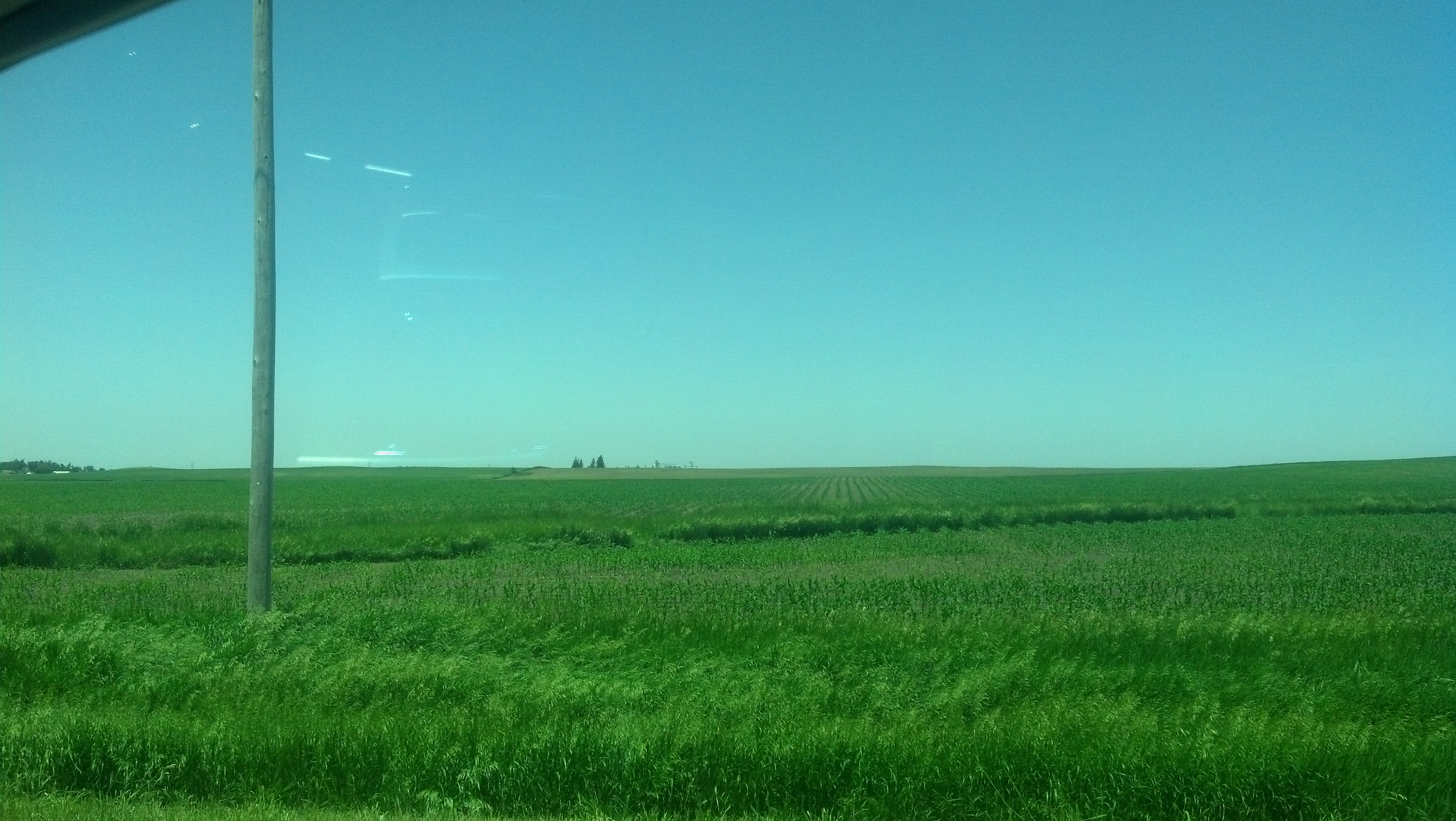
In western Iowa, green and blue dictated the landscape for much of my drive west. (Photo by Michael E. Grass)

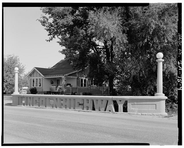
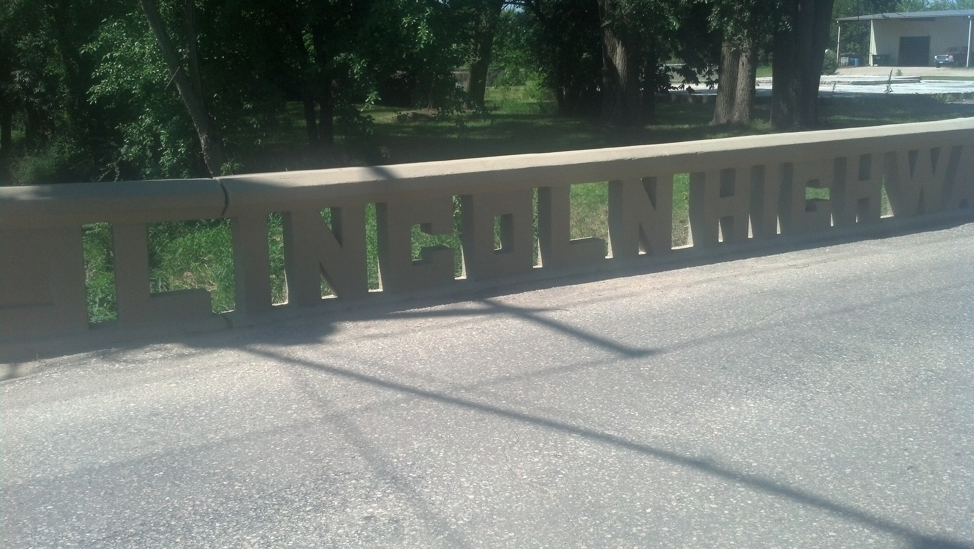
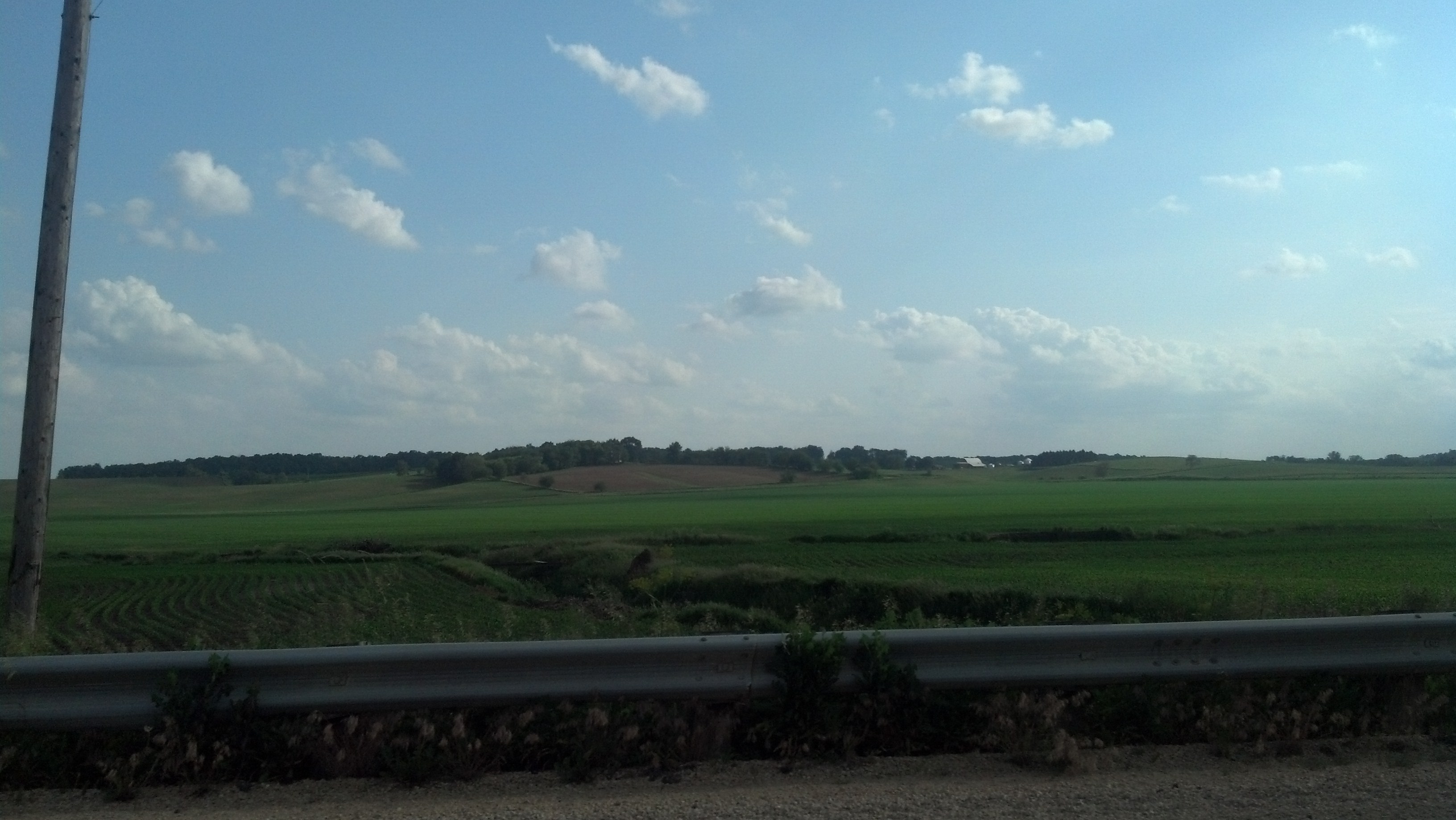
ARCADIA, Iowa — The longer you drive west in Iowa, the more the rolling landscape empties out along the Lincoln Highway. Signs of civilization aren’t as frequent. This rural setting becomes even more stunning, especially at a high point of land about 1,429 feet above sea level that marks the watershed divide for rivers feeding the Mississippi and Missouri.

After heading pretty much due west across the state, the Lincoln Highway starts to deviate more and more from its fairly straight course to bend its way toward the southwest along the Boyer River, tributary of the Missouri. Union Pacific trains remain a regular presence along the way downward to the Missouri River’s great valley.

Carroll County is where you start to see western Iowa’s topography start to change everso gradually. According to “History of Western Iowa, It’s Settlement and Growth,” published in 1882:

Carroll is emphatically a prairie county, the entire portion being composed of a gently undulating surface sufficiently rolling to break the monotonous sameness of the level plain, while to the westward of the Middle Raccoon River, the surface is more broken and uneven, in many places rising into hills of considerable prominence. … From this summit can be obtained a fine view of the surrounding country, extending in every direction as far as the eye can reach. On the east and on the southeast is seen in the distance the rich, fertile valley of the Raccoon River, on the south the unsurpassingly lovely country surrounding the Nishnabotny, and on the west the magnificent vale through which flows the Boyer. All of which in a clear summer’s day afford scenery at once grand, beautiful and picturesque.

I can attest that it’s still grand, beautiful and picturesque. The hills are more severe.

Continue reading

Iowa’s Nevada Is ‘Nee-Vay-Da’

U.S. Rep. Michele Bachmann on the 94th stop of her 99-county tour in the run up to the 2012 Iowa Caucuses. (Photo by WEBN-TV via Flickr/CC BY-ND 2.0 >>)

U.S. Rep. Michele Bachmann on the 94th stop of her 99-county tour in the run up to the 2012 Iowa Caucuses. (Photo by WEBN-TV via Flickr/CC BY-ND 2.0 >>)

NEVADA, Iowa — It’s hard to talk about small-town Iowa without getting into some of the would-be presidential candidates that spend a considerable amount of time — and money! — across the state in pursuit of a crucial win in the first-in-the-nation Iowa Caucus.

And in this crossroads town, just east of Ames and the giant Barilla America pasta manufacturing plant, nailing the proper pronunciation is important.

Don’t confuse it with the state of Nevada. (I’ll be there soon enough.)

Iowa’s Nevada is “NEE-Vay-da.” When presidential candidates, their campaign operations, reporters, television crews parachute into Iowa every four years, there are renewed reminders about how to say it properly.

Nevada is where Minnesota Republican Michele Bachmann ended her 10-day bus tour of all of Iowa’s 99 counties in her ultimately unsuccessful quest for a big Republican presidential caucus win in Iowa. She had won the Ames Straw Poll that August and wanted to be “America’s Iron Lady.”

But her presidential campaign was falling apart in dramatic fashion and remains a subject of lingering intrigueContinue reading

Tama’s Lincoln Highway Bridge: A Landmark Spelled Out in Concrete

The Lincoln Highway Bridge in Tama, Iowa, taken sometime after 1968. (Historic American Engineering Record photo via Library of Congress >>)

The Lincoln Highway Bridge in Tama, Iowa, taken sometime after 1968. (Historic American Engineering Record photo via Library of Congress >>)

TAMA, Iowa — For Lincoln Highway enthusiasts, a stop in this small town about an hour west of Cedar Rapids is mandatory. On its eastern approach into the town from the U.S. 30 expressway bypass — and just off an older local bypass — the Lincoln Highway travels over a short bridge spanning a small creek.

The famous Lincoln Highway Bridge in Tama, Iowa (Photo by Michael E. Grass)

The famous Lincoln Highway Bridge in Tama, Iowa (Photo by Michael E. Grass)

The concrete railing spells out “LINCOLN HIGHWAY.” It was a way for little Tama to stand apart from other towns proud to have the highway’s alignment go through their town. (Tama, in fact, hosts an annual Lincoln Highway Bridge Festival.)

By simply spelling two words out in concrete, this tiny town transformed the Lincoln Highway into its own modern monument. To the rest of the state, it showed that Tama wasn’t stuck in the mud.

Iowa’s often impassable dirt roads were notoriously bad. And there were disagreements on how to improve them or whether to improve them at all. 

Continue reading

One Night in Cedar Rapids

(From the Boston Public Library's Print Division via Flickr/CC BY 2.0 >>)

(From the Boston Public Library’s Print Division via Flickr/CC BY 2.0 >>)

CEDAR RAPIDS, Iowa — If you’ve seen the 2011 film “Cedar Rapids” starring Ed Helms, John C. Reilly and Anne Heche, don’t expect to see much of the movie’s setting here in Iowa’s second-largest city. It was actually filmed in Ann Arbor, Mich.

The real Cedar Rapids is still recovering from Iowa’s record floods in 2008, which inundated much of downtown and low-lying neighborhoods on either side of the Cedar River, including Czech Village. (The National Czech and Slovak Museum and Library, which was damaged during the floods, is currently hosting a special exhibition featuring the “280 dazzling pins [former Secretary of State Madeleine] Albright wore to emphasize the importance of a negotiation, signify high hopes, protest the absence of progress, and show pride in representing the United States,” according to the museum.)

I didn’t have that much time to explore Cedar Rapids. As I pressed westward on the Lincoln Highway, this was just a one-night stopping-off point for my trip. The one downtown feature that’s hard to miss when driving through town is the Quaker Oats complex, where towering grain elevators serve the company’s large cereal mill, which opened here in 1873.

Continue reading

Cloudgazing and Following Iowa’s Well-Marked Signs

The skies over eastern Iowa, looking south from the Lincoln Highway near Clarence. (Photo by Michael E. Grass)

The skies over eastern Iowa, looking south from the Lincoln Highway near Clarence. (Photo by Michael E. Grass)

MOUNT VERNON, Iowa — Climbing out of the Mississippi Valley west of Clinton on the way toward DeWitt and westward to Cedar Rapids, a few things become abundantly clear about Iowa.

For starters, a heavily trafficked Union Pacific railroad line parallels U.S. 30 for much of the way through the state and westward into Nebraska. As I drove, freight trains became a regular presence along the Lincoln Highway.

Iowa is not flat, at least not here. Its handsome farmland spills out over a gently rolling terrain. Any road heading due west cuts across the local topography, which follows the contours of the creeks and rivers that generally run from the northwest to southeast toward the Mississippi.

Post continues below …

Somewhere along U.S. 30 in eastern Iowa. (Photo by Michael E. Grass)

Somewhere along U.S. 30 in eastern Iowa. (Photo by Michael E. Grass)

There are no mountains here for sure, but Iowa nonetheless is defined by it dramatic low-slung landscape. In parts, the farmland is like a patchwork quilt of different shades of greens and yellows.

It’s far from boring, especially in the moments when you’re cruising along at the optimal top speed — the limit is 65 mph in many sections through eastern Iowa — and the road flies over a Union Pacific train and you’re suddenly at pace or slightly faster than the parallel freight train hauling coal and grain across the state.

Iowa is a place for cloudgazing, too. Continue reading

Windmill, Golden Dome Mark Lincoln Highway’s Mississippi Crossing

2013-06-12 16.57.22

This Archer Daniels Midland coal storage facility in Clinton, Iowa, is hard to miss. (Photo by Michael E. Grass)

CLINTON, Iowa — There are two ways to cross the Mississippi River heading west on the Lincoln Highway from Illinois into Iowa. U.S. 30’s Gateway Bridge, a suspension span, provides a faster way through the area. But it skips Fulton, Ill., the town where the Lincoln Highway previously crossed on a bridge dating to 1891, later torn down and replaced.

2013-06-12 16.32.36

The Windmill Cultural Center in Fulton, Ill., sits adjacent to the town’s Mississippi River levee. (Photo by Michael E. Grass)

Today, there’s a giant Dutch-style windmill that sits atop Fulton’s Mississippi River levee at the foot of 10th Avenue at 1st Street, where a the Windmill Cultural Center is located. Dutch settlers originally came to this spot along the Mississippi in 1835. Many more, including members of the Dutch Reformed Church, started coming in higher numbers in the 1870s. (The city hosted its Dutch Days in May.)

Today, you can take the 1970s era Mark N. Norris Bridge to connect with U.S. 67 to head into the heart of Clinton, formerly the “Lumber Capital of the World,” and link back up with U.S. 30 to head west. (My hometown, Grand Rapids, Mich., is the “Furniture Capital of the America.”) Clinton’s Sawmill Museum is on Grant Street, along Clinton’s Mississippi River levee.

Sawmills in Clinton processed lumber that came downriver from Minnesota and Wisconsin along the Mississippi. That processed lumber was then taken by rail to Chicago and points east, or to points farther downriver. But Clinton’s lumber boom went bust in the 1890s.

Continue reading