Discovering Atlantes, Hungarian Pastries and a Great Public Space in Wooster

Architectural ornamentation on the Wayne County Courthouse in Wooster, Ohio (Photo by Michael E. Grass)

The Wayne County Courthouse in Wooster, Ohio, has very detailed architectural ornamentation, including two great Atlantes framing its eastern entranceway. (Photo by Michael E. Grass)

WOOSTER, Ohio — Heading westward through Ohio on the Lincoln Highway from Canton and Massillon, U.S. 30 has been upgraded to a divided highway that’s built primarily to expressway standards with controlled-access interchanges at major road junctions. It looks and feels like any ordinary Interstate highway, but largely lacks the long-distance east-west travelers that can crowd the Ohio Turnpike and Interstate 70.

The old road runs roughly parallel and meets up at points along the modern route so Lincoln Highway goers have a choice of hopping on U.S. 30 to speed up the trip across Ohio and skip the local roads through the corridor of towns and cities that are along the way.

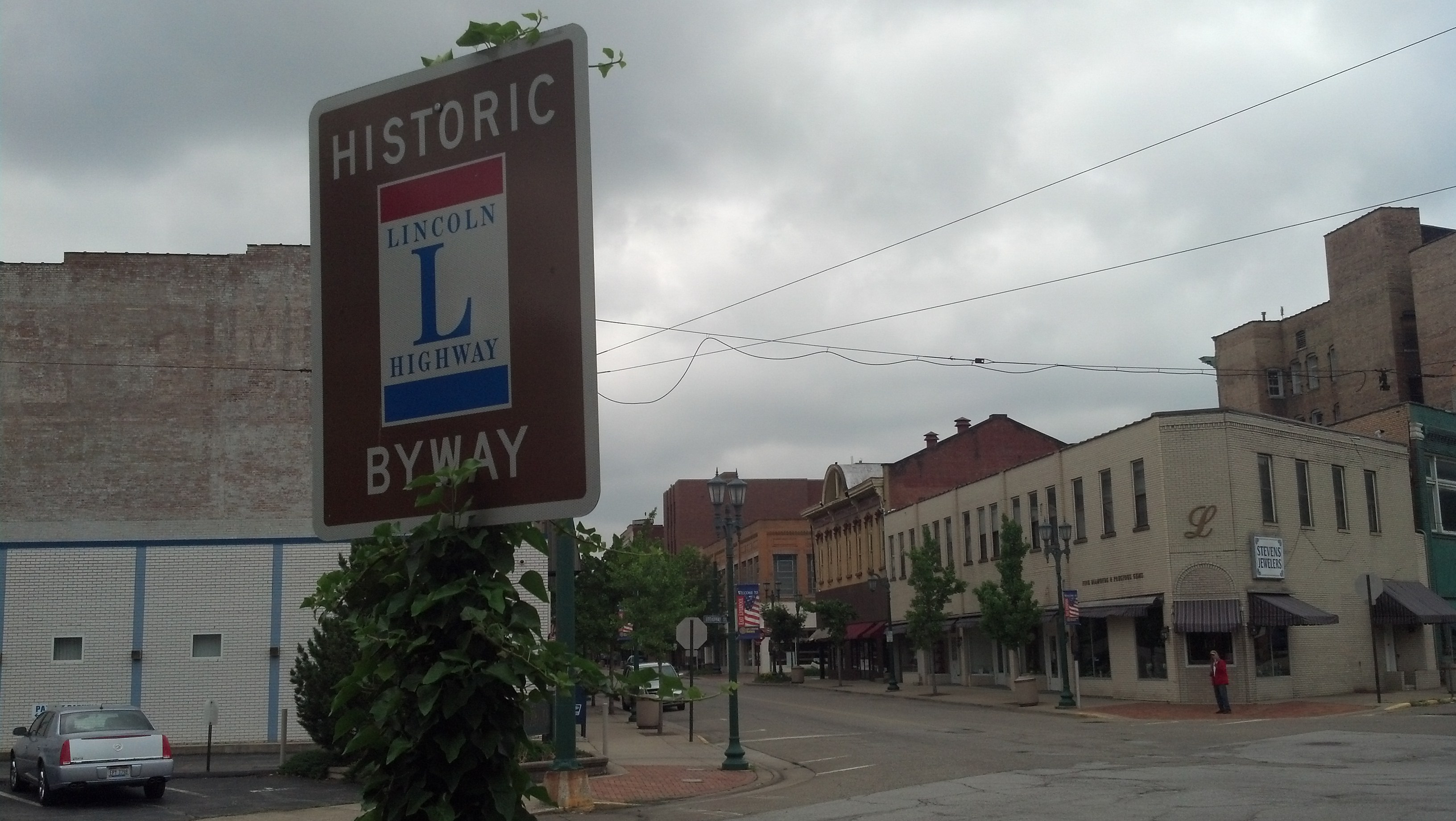
For this trip, I’m not forcing myself to follow the entirety of the original Lincoln Highway route — though Ohio seems to have consistent signage for those who do want to follow the old route. I’m picking and choosing which towns I want to check out, driving along sections of the original route and hopping on the modern highway when I need to keep to schedule or make up for lost time.

I’m glad I decided to head into Wooster, which thus far, might be my favorite small town along the Lincoln Highway. I suspect that by the time I get to California, I will have developed a short list of my favorites. Wooster hits a couple of my check boxes for all the right reasons.

Continue reading

Massillon Won’t Let You Forget That High School Football Reigns Supreme

2013-06-08 10.17.22

While the Massillon Tigers do not have a imperial Roman triumphal arch physically spanning the Lincoln Highway in downtown Massillion, there is this gigantic mural. (Photo by Michael E. Grass)

MASSILLON, Ohio — Before driving through on the Lincoln Highway on Saturday, I had never been in this Stark County city before. I knew next to nothing about the place except that high school football was a big deal here. Granted, high school football is a storied tradition in a lot of places but in Massillon, its role in civic life might as well be written into the city charter. (And if it is actually written into the city charter, I wouldn’t be surprised.)

To illustrate the impact football has here, I’ll point you to the gigantic mural stylized as a Roman-like military triumphal arch called “A Century of Heroes” at Lincoln Way East and 1st Street. (And I thought my high school’s grandiose football stadium renovations were a bit over the top. East Grand Rapids Team Boosters: It may be time to think bigger and perhaps construct an actual Roman triumphal arch.)

The rivalry between Massillon’s Washington High School and Canton’s McKinley High School is one of the biggest — if not the biggest — in all of American sports. It traces its roots to the 1890s and was the subject of the 2001 documentary “Go Tigers!

The primary road that links the rivalry between Canton and Massillon is the Lincoln Highway, known locally as Lincoln Way in Massillon and Tuscawaras Street in Canton.

While the rivalry is something remarkable, the Lincoln Highway in this section is not.

Continue reading

On the Road To Lisbon, Reminders of a Confederate ‘Thunderbolt’

The town square in Lisbon, Ohio (Photo by Michael E. Grass)

The town square in Lisbon, Ohio (Photo by Michael E. Grass)

LISBON, Ohio — Before my trek on the Lincoln Highway, I had a hard time envisioning what was out here in this part of eastern Ohio. My previous travels through the Buckeye State had never taken me this way before. I just didn’t know what to expect, except maybe some Amish beard-cutting attacks.

East Liverpool was my creepy introduction to Ohio along the Lincoln Highway. As I continued along U.S. 30 en route to Canton, I encountered five black ravens eating roadkill in the span of two miles. Edgar Allan Poe might have found inspiration along this road.

This part of Ohio is pretty hilly, so when this stretch of the highway was improved to eliminate some bends here and there, the older sections were orphaned but still accessible from the main road. I had seen this in Pennsylvania as well, with the older portions signed with the Lincoln Highway standard. Just for kicks, I decided to follow one of these older narrow turnoffs knowing I’d get back on the main road in short order.

As I re-emerged onto U.S. 30, a hulking black pick-up truck with a big Confederate flag waving from its cab zoomed by at a high rate of speed.

Did he not know he was driving on the Lincoln Highway? 

Confederate Brigader Gen. John Hunt Morgan (Library of Congress Prints and Photographs Division)

Confederate Brigader Gen. John Hunt Morgan (Library of Congress Prints and Photographs Division)

Then again, I had just driven in the vicinity of West Point, a tiny town just off the Lincoln Highway where Confederate Brigadier Gen. John Hunt Morgan, the “Thunderbolt of the Confederacy,” had surrendered to Union troops after his bold 1,000-mile summer 1864 raid of Kentucky, southern Indiana and Ohio ended at the nearby Battle of Salineville.

The Lincoln Highway in eastern Ohio, so far, had been full of strange surprises.

Then I entered Lisbon, a small village in Columbiana County founded in 1803 as New Lisbon, the year “America’s First Frontier” attained statehood.

Continue reading

Cue the Creepy Music in East Liverpool, Ohio, Which Hopefully Isn’t Doomed

Broadway and E. 5th Street in East Liverpool, Ohio (Photo by Michael E. Grass)

Broadway and E. 5th Street in East Liverpool, Ohio (Photo by Michael E. Grass)

EAST LIVERPOOL, Ohio — Heading west out of Pittsburgh on the Lincoln Highway, you’re confronted with a few options to reach this well-worn Ohio River town opposite the tip of West Virginia’s northern panhandle and just west of the Pennsylvania state line.

The original route of highway stayed on the north bank of the river via Beaver, Pa. The second-generation route, according to the Lincoln Highway Association’s official map, kept the highway on the south bank to Monaca, Pa., before crossing to Beaver and onward to East Liverpool. The road conditions in this part of Pennsylvania were notoriously bad, so the Lincoln Highway Association pressed for a new road to be built.

But the third-generation route, today’s U.S. 30, took the Lincoln Highway on a much more southern alignment via Chester, W.Va., “an unintentional byproduct of the bad roads in Pennsylvania,” according to a 2004 National Park Service assessment of the Lincoln Highway. Beyond Pittsburgh’s western suburbs and exurbs, U.S. 30 — which lacks any Lincoln Highway signage — meanders through some beautiful hilly farm country and forests.

But I barely realized I had crossed into West Virginia — the Lincoln Highway is only about five miles long in the northern panhandle — when I reached the Ohio River, crossed over into Ohio and quickly passed downtown East Liverpool on the modern expressway hugging the riverbank. Strangely, “Foot and Mouth ’68,” an eerie and uncomfortably ambient instrumental track from Gorky’s Zygotic Mynci‘s The Blue Trees album, just happened to be playing in my rental car’s CD player.

I should have taken it as a sign that venturing into the town itself was going to be very, very creepy.   Continue reading

Finding Pittsburgh BBQ and Motor History Along Baum Boulevard

Pork, brisket, collards and local root beer at YinzBurgh BBQ on Baum Boulevard on Pittsburgh's historic Auto Row, part of the original Lincoln Highway. (Photo by Michael Grass)

Pork, brisket, collards and local root beer at YinzBurgh BBQ on Baum Boulevard on Pittsburgh’s historic Auto Row, part of the original Lincoln Highway. (Photo by Michael Grass)

PITTSBURGH — For my Lincoln Highway journey, having Internet access via my smartphone and computer has been and will continue to be a great tool. Although I’m going across country without turn-by-turn GPS navigation — why pay for it when I have it in my brain’s spatial orientation and navigation skills for free? — I have the Internet to help me research what I want to see and where I want to go. This includes eating along the way.

When I wanted to find a good local spot for lunch on Thursday while checking out Pittsburgh’s historic Auto Row along Baum Boulevard — which is part of the Lincoln Highway’s original route — I turned to Yelp. Crowdsourcing local knowledge has been critical to the success of Yelp and similar user-generated tools.

In this case, I ended up at YinzBurgh BBQ, a 16-month-old Southern-style barbecue joint in a city not known for its barbecue.

It was a great find and something I likely would not have checked out if I was simply driving by. (I probably would have gone around the corner to Chipotle.) I spent some time chatting with YinzBurg BBQ’s owner, Richard Coursey, about my trip and his place, which offers up some great food, I might add. (YinzBurgh’s smoked meats come sauceless. Coursey’s philosophy is that sauce should be on the side and not overpower the meat itself. He has a variety of housemade sauces inspired by different barbecue traditions and he’ll be more than happy to give you a thorough introduction to YinzBurgh’s offerings.)

As I was eating some delicious barbecue and collards, I was thinking about how anyone traveling on the Lincoln Highway when it opened — or for that matter until the recent proliferation of smartphones and crowdsourcing tools like Yelp — were at a disadvantage when they drove into an unfamiliar place. Their options were limited to what was easily accessible along the road.

Continue reading

Pittsburgh Is a Paradise of Infrastructure

Pittsburgh's Point Bridge, seen here in 1900, was the first of three bridges to span the Monongahela River right before it meets the Allegheny River to form the Ohio River. (Photo by the Detroit Publishing Co. via the Library of Congress Prints and Photographs Division)

Pittsburgh’s Point Bridge, seen here around 1900, was the first of three bridges to span the Monongahela River right before it meets the Allegheny River to form the Ohio River. (Photo by the Detroit Publishing Co. via the Library of Congress Prints and Photographs Division)

PITTSBURGH — When Fort Duquesne was situated at the confluence of the Allegheny and Monongahela rivers by the French, this area was obviously strategic. It protected the gateway to the Ohio Valley and was fought over during the French and Indian War. But as cities go, the spot where modern Pittsburgh would eventually take shape wasn’t necessarily an easy place for future growth.

Most cities thrive on level ground, something that is a scarce commodity here. Constrained by its rivers and hemmed in by mountains, Pittsburgh had no such level-ground luxury.

San Francisco faced similar issues with its hilly terrain, but instead of growing organically with its setting, its street grid system brazenly defied it, creating the often steep streets that have become one of San Francisco’s signature urban elements.

While San Francisco conquered its topography with a uniform street plan, Pittsburgh conquered its difficult terrain with its infrastructure, allowing the city to expand into its higher elevations, across its rivers and other areas where the terrain would normally limit any ordinary city.

Pittsburgh functions because of its bridges. They’re everywhere.

Continue reading

On the Old Forbes Road And Over the Mountains

2013-06-05 16.06.56

This Lincoln Highway-themed gas station pump sits outside the Historic Texas Lunch in Chambersburg, Pa. (Photo by Michael E. Grass)

PITTSBURGH — It’s already abundantly clear that I’m not going to be able stop off and see — and photograph — everything that I would want to along the Lincoln Highway. That became evident yesterday as I was racing from Gettysburg to make it to the Flight 93 memorial in Somerset County before its 6:30 p.m. closing. I breezed through Breezewood, which is not that scenic, but also through places like Chambersburg, the town burned in a July 30, 1864, Confederate raid where I hopped out for literally 30 seconds to snap a photo of the highly decorated gas pump you see here.

But if this is a preview of what the highway offers as I go west, then there’ll be plenty for me to see.

The route through the mountains is naturally beautiful and largely empty, dotted with plenty of aging and artistically repurposed gas pumps, bucolic barns with Lincoln Highway murals, breathtaking mountain-top vistas of the valleys below, and plenty of 19th century buildings from the pre-Lincoln Highway days, when this was this was the primary — but rough — road across Pennsylvania.

Continue reading

The Flight 93 Memorial’s Natural Harmony and Simple Beauty

2013-06-05 18.31.52

The Flight 93 memorial near Shanksville, Pa., fits in well with the natural landscape that surrounds it. (Photo by Michael E. Grass)

SHANKSVILLE, Pa. — In the immediate aftermath of the Sept. 11, 2001, terror attacks, I remember there was some confusion as to the exact location of where United Flight 93, which was heading toward Washington, D.C., had crashed. I recall some reports that it was “near Pittsburgh.” Others played it safe with a vague description as “in Pennsylvania.” Later, the pinpointed location of the crash was said to be “near Somerset.”

It didn’t really matter at the time. Most eyes were glued to television coverage of what was happening in Lower Manhattan, so the precise location of the Flight 93 crash wasn’t of major concern, except to those to may have thought momentarily that something had happened to Pittsburgh, too.

As the geographic ambiguity remained, official statements of grief and condolence poured in from around the world. I distinctly recall a few statements reacting to the horrific tragedies in New York, Washington “and Pittsburgh.”

Eventually, the chosen reference point for the remote crash site was Shanksville, a tiny borough off the Lincoln Highway in Somerset County.

In the years following the Sept. 11, 2001, attacks while on roadtrips between Michigan and Washington, D.C., I simply sped by on the Pennsylvania Turnpike. There weren’t any turnpike exits in the immediate area of where a national Flight 93 memorial would take shape, a site previously used for surface mining.

While there still isn’t convenient turnpike access to the Flight 93 memorial, it’s only about 3 miles from the Lincoln Highway, so it made sense to visit the site since I was passing through on U.S. 30.

2013-06-05 18.25.32

Understanding the geography of the site of the Flight 93 memorial is critical to understanding the tragedy that happened here. (Photo by Michael E. Grass)

Although I had followed the debates over the design of the World Trade Center memorial and was familiar with the design of the Pentagon’s 9/11 memorial, I don’t recall ever hearing much about the Flight 93 memorial design. My bet is that most Americans had tuned out the site near Shanksville just as I had.

So I wasn’t sure what to expect at the memorial when I approached it on the long and winding access road up from the Lincoln Highway.

When I arrived at the memorial plaza, I discovered a beautifully simple and dignified site commemorating the 40 passengers and crew members who died when the plane slammed into the ground at more than 560 mph, nearly upside down and at a 40 degree angle.

Continue reading

How To Avoid Pennsylvania Turnpike Tolls At Breezewood

BREEZEWOOD, Pa. — This so-called “Town of Motelsand fast food restaurants and gas stations and semi trucks is usually a place you can’t avoid if you’re traveling between Washington, D.C., and Pittsburgh or points westward. If you’re going to or from the Pennsylvania Turnpike, you must pass through town — there’s not much of a town here to speak of — to get to or from Interstate 70 in Maryland.

This has long been an annoyance to long-distance travelers, but an economic boost to all the businesses here.

On this trip, I’m passing through Breezewood without paying any tolls thanks to sticking to the Lincoln Highway. Onward to Pittsburgh!

Thaddeus Stevens’ Ruined Iron Works at Caledonia State Park

2013-06-05 15.13.52

The ruins of Thaddeus Stevens’ Caledonia Furnace, west of Gettysburg, Pa. (Photo by Michael E. Grass)

FAYETTEVILLE, Pa. — Thaddeus Stevens, the outspoken anti-slavery congressman from Pennsylvania, isn’t necessarily that well known today among Civil War-era political figures. Tommy Lee Jones recently gave Stevens a boost in name recognition with his fantastic portrayal of the “Great Commoner” in “Lincoln.”

But Southerners absolutely loathed Stevens, who was never shy to mince words about any subject, especially slavery and the Confederacy. Stevens was so hated by the South that during the 1863 invasion of southern Pennsylvania, Confederate Gen. Jubal Early came up to this spot on the mountain west of Gettysburg to destroy the ironworks Stevens owned.

Continue reading