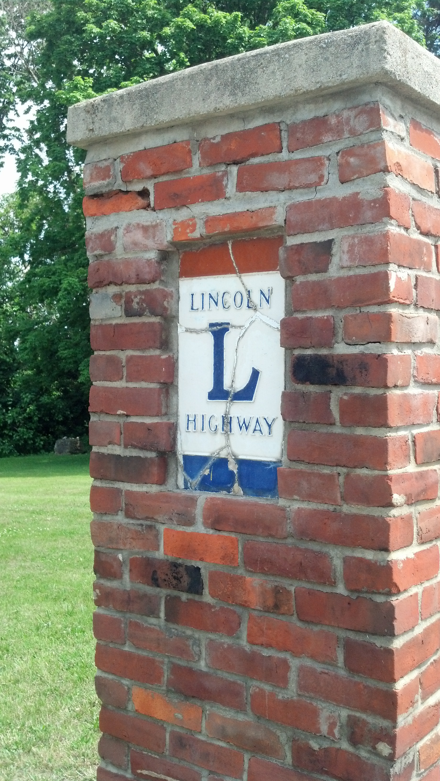
JOLIET, Ill. — Driving west along the Lincoln Highway out of Indiana, U.S. 30 cuts through the southern extremities of Chicagoland. For a time, it follows part of the old Sauk Trail, the great path between the Mississippi River and the Detroit River developed by generations of Native Americans and improved by early European settlers.
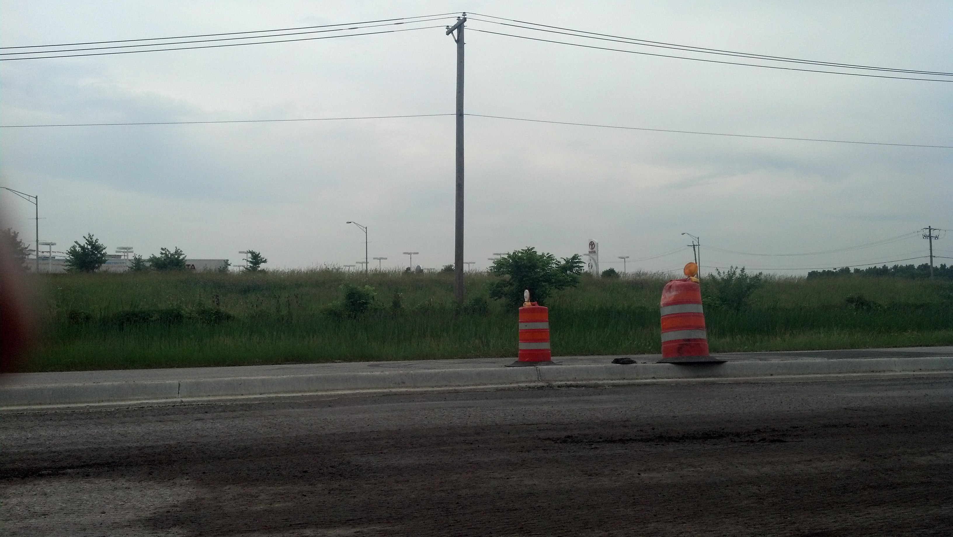
U.S. 30 through the southern part of the Chicago metro area is under reconstruction. (Photo by Michael E. Grass)
The city of Chicago itself is more than 30 miles to the north but if you’re familiar with the Windy City’s major north-south thoroughfares, they’re down this way, too. Cottage Grove Avenue, State Street, Halsted Street, Ashland Avenue, Western Avenue, Pulaski Road, Cicero Avenue and Harlem Avenue disappear into the exurbs and farmland miles to the south of the Lincoln Highway.
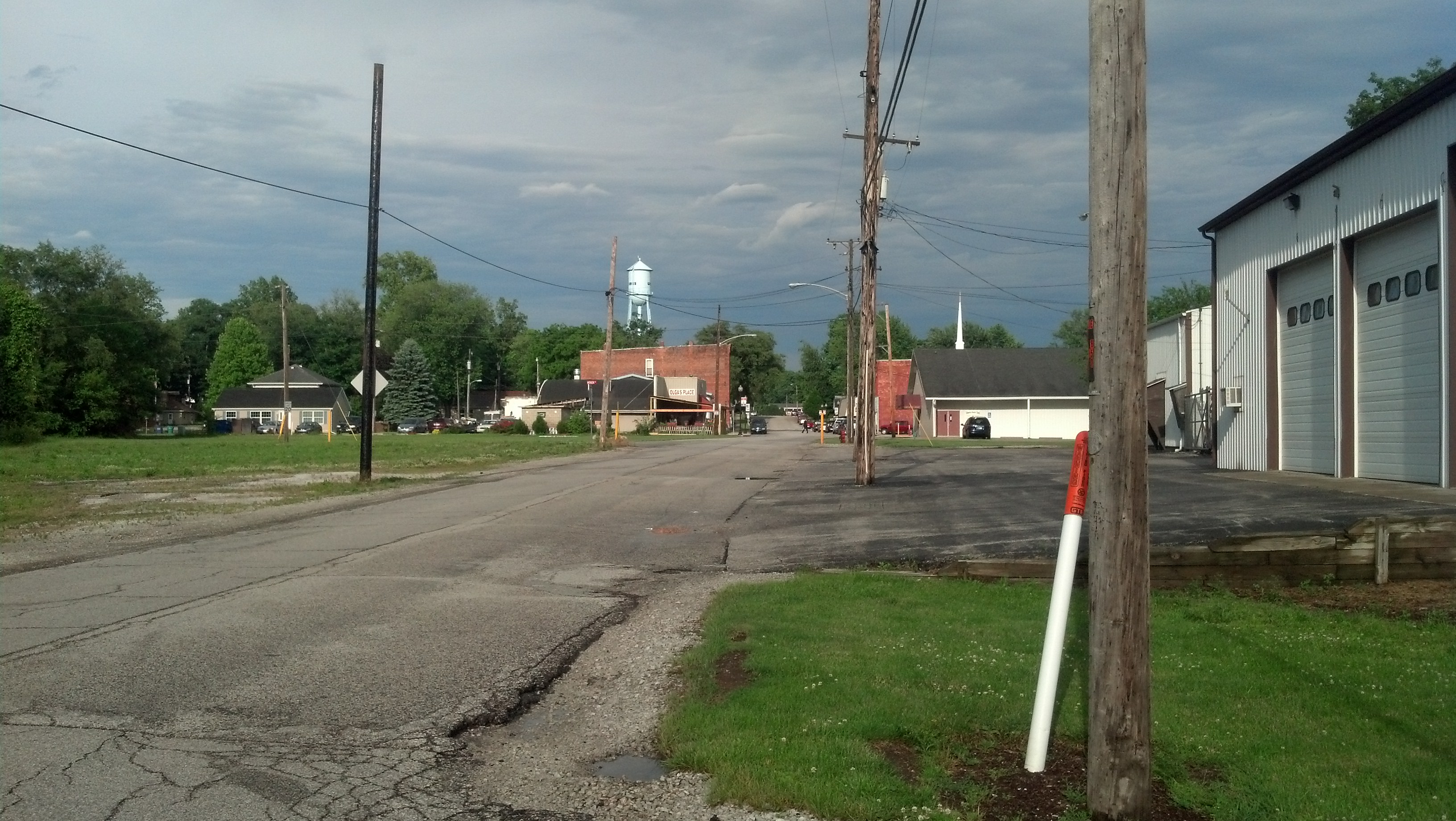
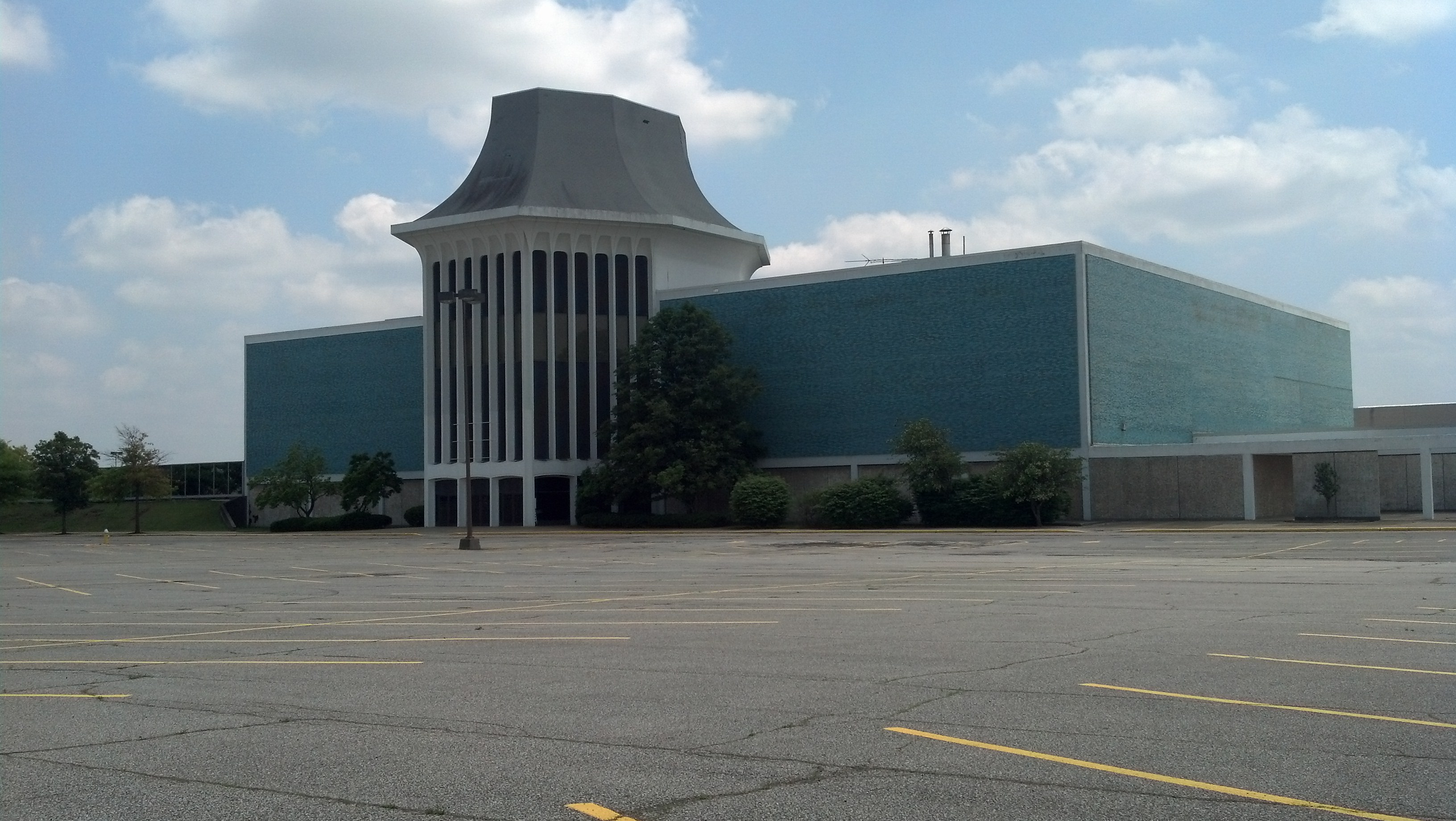
After passing through gritty Chicago Heights, where there are scores of vacant lots and abandoned houses along the Lincoln Highway, U.S. 30 runs through mostly suburban areas on its way to Joliet, including Matteson, Frankfort, Mokena and New Lenox.
Besides the strip malls and big-box stores, there’s not much to see here. I was in somewhat of a hurry to pass through Chicagoland on my way to Iowa. Weather forecasts for Wednesday predicted big storms to develop during the late afternoon, so I had an ever-diminishing window of time to make my way through.
As I drove along U.S. 30 toward Joliet, the highway was under major reconstruction, but it didn’t slow me down too much.
Joliet is known for a few things.