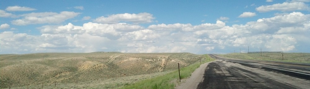
Heading westward toward sunset, somewhere along Interstate 80 in southern Wyoming (Photo by Michael E. Grass)
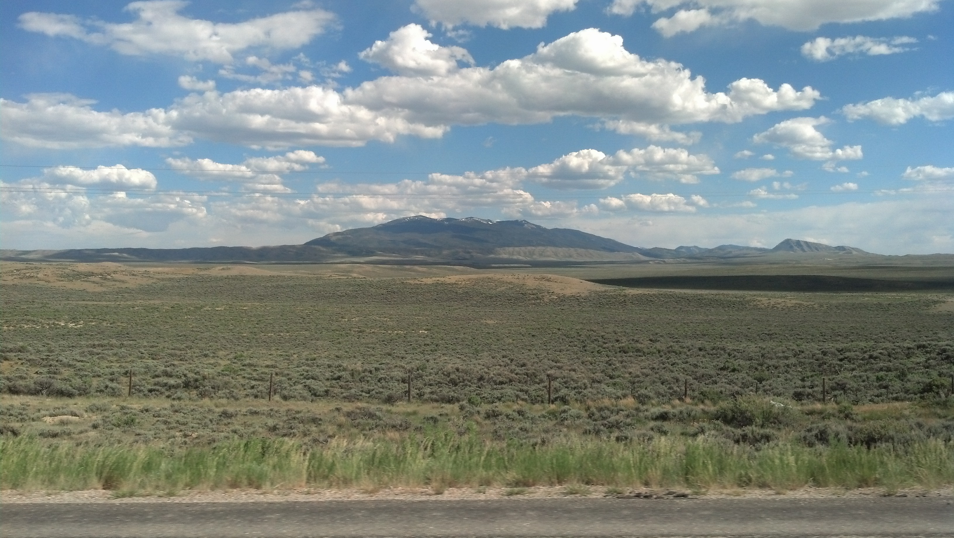
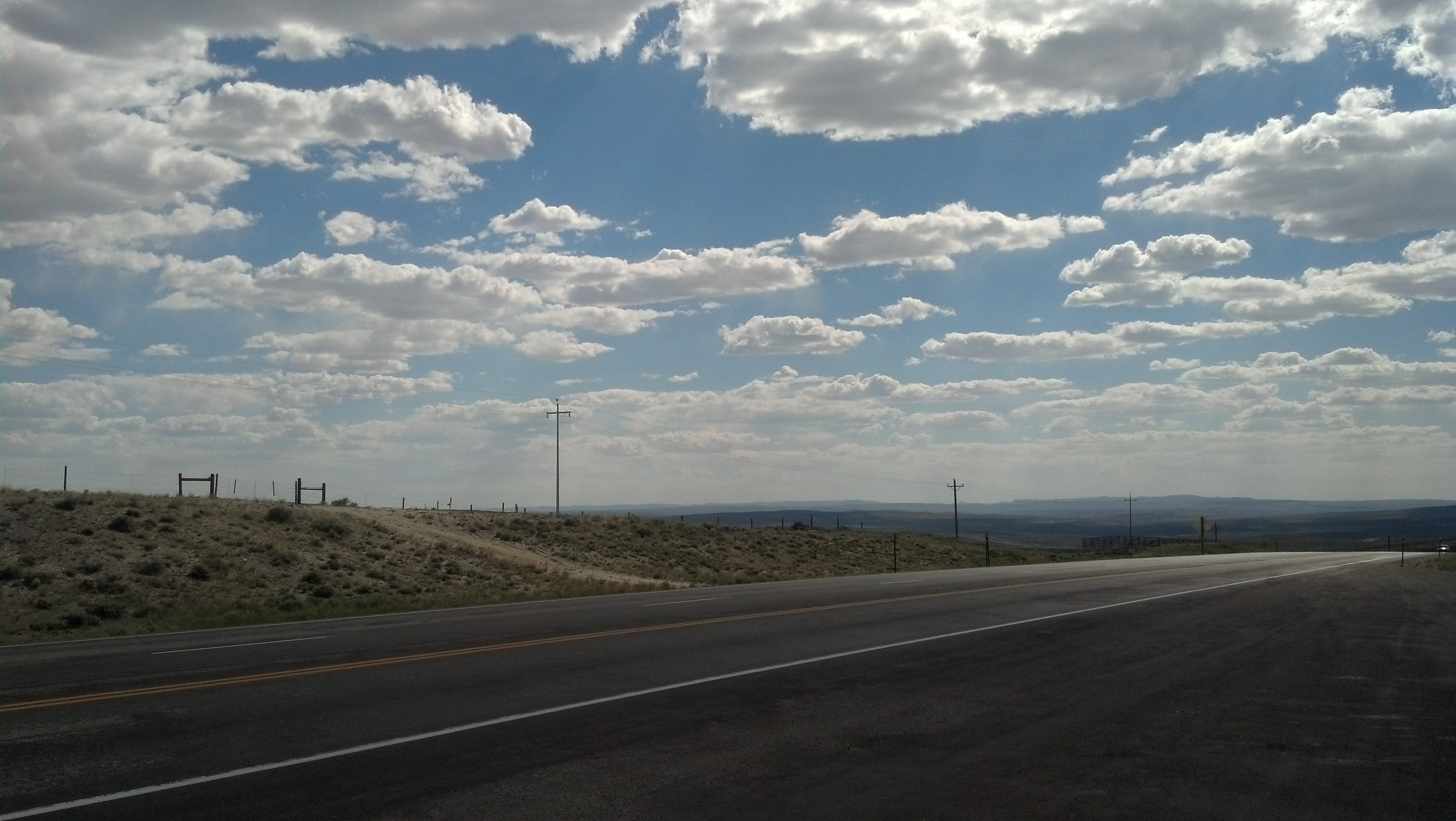
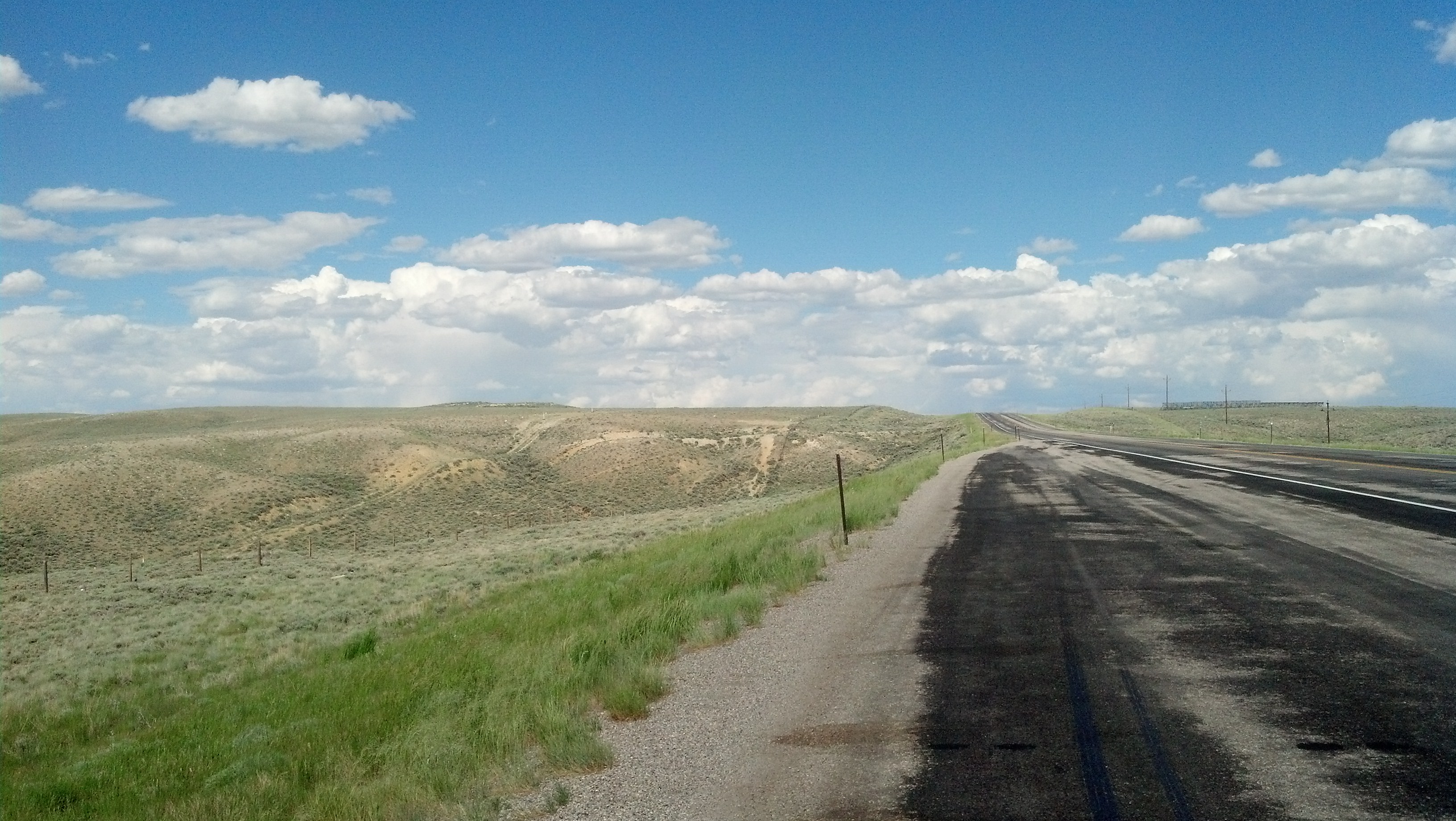
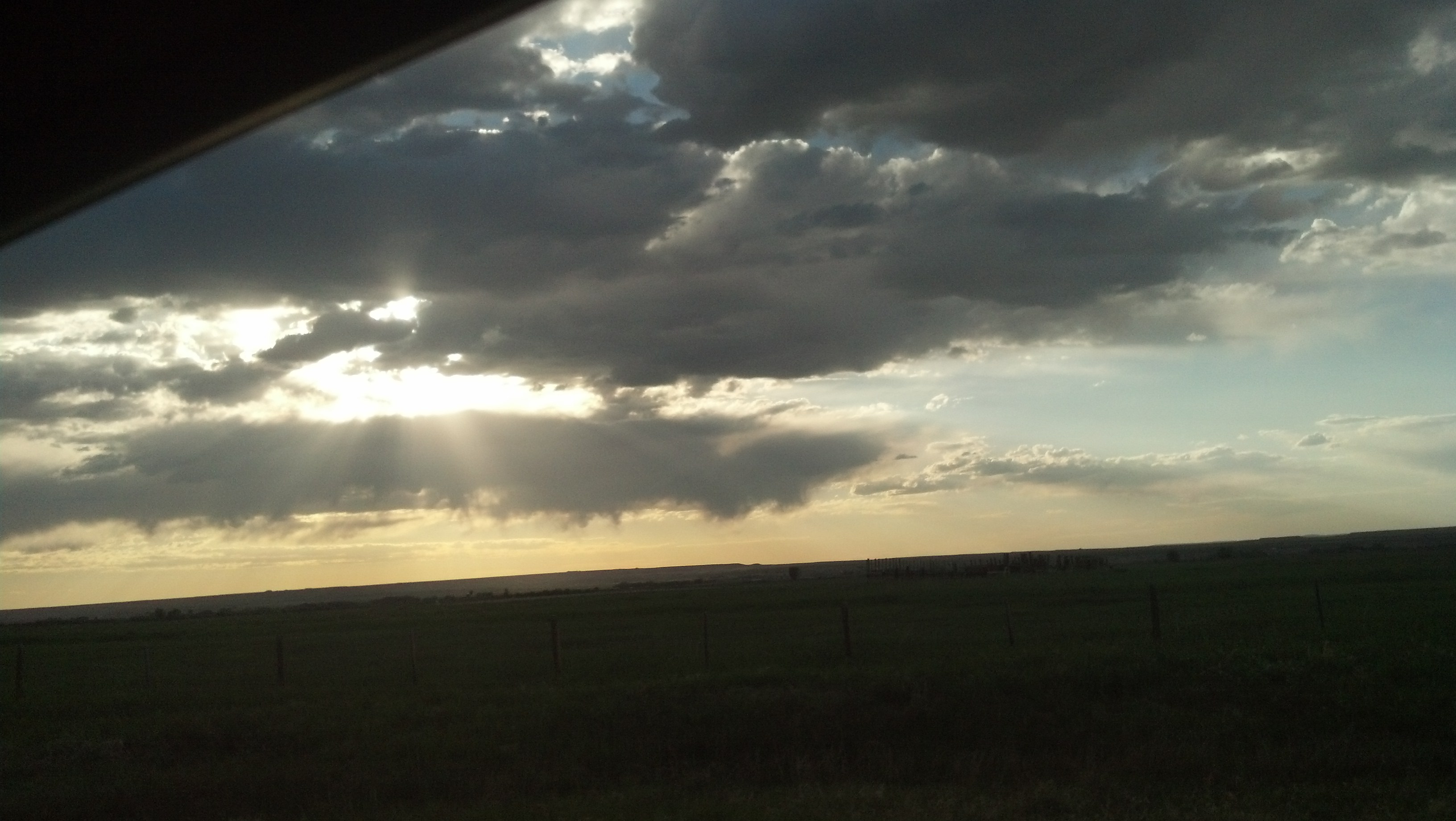
EVANSTON, Wyo. — Traveling across Wyoming’s southern tier, I had one destination in mind: a hotel bed. Originally, my plan was to drive all the way from my mid-trip relaxation stop at Boulder, Colo., to Salt Lake City, but when a friend in Colorado asked me whether I knew “that’s a really, really long way” to do solo, I decided to reassess my options. I did, after all, want to make a few stops along the way and take the longer, more scenic drive along the Lincoln Highway’s original route via Medicine Bow.
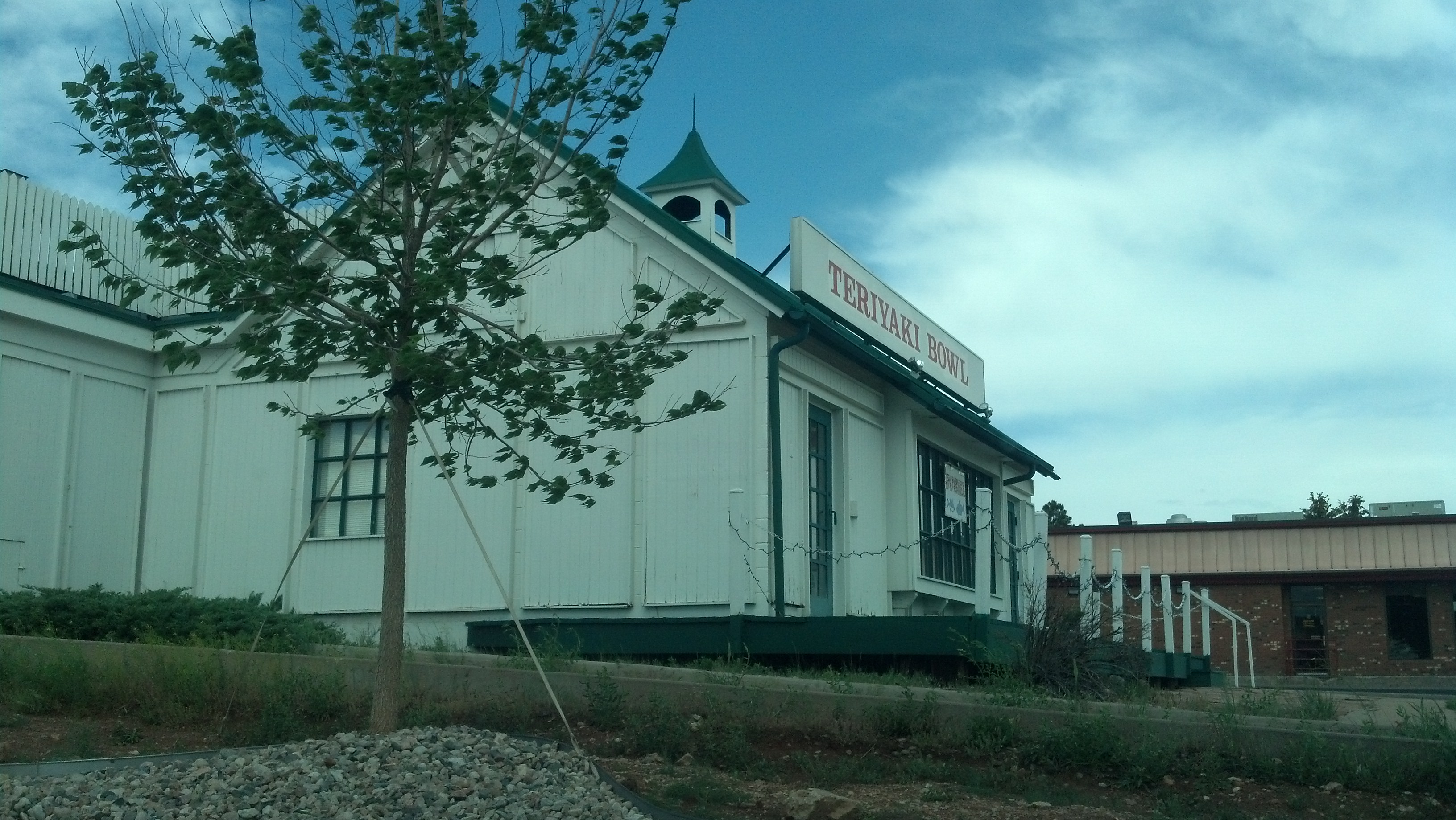
I decided that Evanston, a city established when the Union Pacific Railroad pressed west through this part of Wyoming in the late 1860s, would be a good stopping-off point. It would still necessitate a long driving day because there is no such thing as a quick trip anywhere in Wyoming.
Like many towns along the transcontinental railroad, Evanston once had a sizable Chinese population in its early years. In fact, there have been archaeological excavations of Evanston’s former Chinatown which uncovered materials belonging to Chinese women, who were always a rarity in these male-dominated communities along the railroad.
According to Western Wyoming Community College:
The most distinctive pieces of jewelry recovered during excavations that can be attributed to women are earrings. Photographs of Chinese women in Evanston show women wearing earrings similar to the ones uncovered in excavation. Other jewelry items uncovered in excavation are less useable as indicators of gender. However, the earrings recovered, as well as the other jewelry items uncovered, come from one living space that posses an internal courtyard. Based on the gold, silver, Ming Dynasty ceramics, jade fragments, variety and number of coins recovered, and shear quantity of artifacts found in this one area, we contend that the occupants had a relatively high economic status–especially when compared to the Chinese coal miner’s quarters north of Evanston at Almy and even railroad laborers homes inside the Evanston Chinatown.
The history of Chinese laborers building the transcontinental railroad and the industries they served along the route is a decidedly unhappy one, especially in Wyoming.