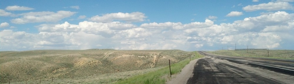
In western Iowa, green and blue dictated the landscape for much of my drive west. (Photo by Michael E. Grass)
ARCADIA, Iowa — The longer you drive west in Iowa, the more the rolling landscape empties out along the Lincoln Highway. Signs of civilization aren’t as frequent. This rural setting becomes even more stunning, especially at a high point of land about 1,429 feet above sea level that marks the watershed divide for rivers feeding the Mississippi and Missouri.
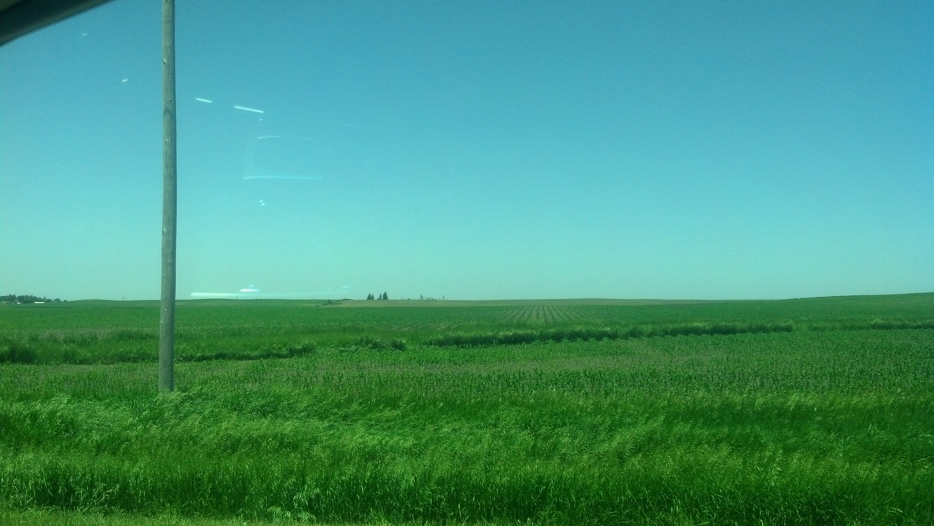
After heading pretty much due west across the state, the Lincoln Highway starts to deviate more and more from its fairly straight course to bend its way toward the southwest along the Boyer River, tributary of the Missouri. Union Pacific trains remain a regular presence along the way downward to the Missouri River’s great valley.
Carroll County is where you start to see western Iowa’s topography start to change everso gradually. According to “History of Western Iowa, It’s Settlement and Growth,” published in 1882:
Carroll is emphatically a prairie county, the entire portion being composed of a gently undulating surface sufficiently rolling to break the monotonous sameness of the level plain, while to the westward of the Middle Raccoon River, the surface is more broken and uneven, in many places rising into hills of considerable prominence. … From this summit can be obtained a fine view of the surrounding country, extending in every direction as far as the eye can reach. On the east and on the southeast is seen in the distance the rich, fertile valley of the Raccoon River, on the south the unsurpassingly lovely country surrounding the Nishnabotny, and on the west the magnificent vale through which flows the Boyer. All of which in a clear summer’s day afford scenery at once grand, beautiful and picturesque.
I can attest that it’s still grand, beautiful and picturesque. The hills are more severe.
It’s tempting to leave the main highway and drive down one of these long, empty country roads, but many of them are marked “Minimum Maintenance Roads.” (In any regard, I’m already slightly behind schedule.)
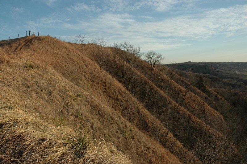
The Loess Hills, as seen during a less-green time of year. (Photo by Flickr user Ford Ranger via CC BY-ND 2.0 >>)
This topographical transition point is a great place to get a better command of the land ahead. Looking north and westward, it’s mostly clear and brilliantly bright blue. There’s a great expanse ahead toward the Missouri River valley and Nebraska. But Iowa’s Loess Hills come first.
According to the United State Geological Survey, windblown loess is “a gritty, lightweight, porous material composed of tightly packed grains of quartz, feldspar, mica, and other minerals.” The loess layers here are 200 feet thick and are a rare geologic feature.
It’s growing more overcast to the south and southwestward, which is where the Lincoln Highway will take me into Nebraska, via the U.S. 30 bridge to Blair.
***
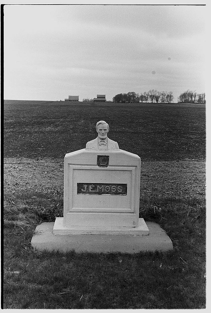
John Vachon photographed this statue of Lincoln near Scranton, Iowa, as part of his travels in April 1940 with the Farm Security Administration. (Photo via Library of Congress >>)
On its way to this point in western Iowa, the Lincoln Highway passes through a series of towns, including Boone, Ogden, Jefferson and Carroll.
Off U.S. 30 near Scranton, one of the highway’s alignments goes by a pair of white concrete markers — each with an Abraham Lincoln bust — standing next to the road at the edge of a field.
J.E. Moss, a Civil War veteran who owned property adjacent to the highway’s path had the pair built 1924, the same year when the Lincoln Highway was paved through this area, according to the Carroll Daily Times Herald.
The current monuments are replicas of the originals, which had been vandalized years earlier.
***
Following U.S. 30 into the Loess Hills, there are scores of Union Pacific teams at different points along the tracks. Through Iowa, I’ve seen more trucks bearing Union Pacific shields than I’ve seen Iowa State Patrol cruisers. The UP certainly has a lot of territory to cover. Along this stretch of the Lincoln Highway, the railroad crews look like they’re carrying out inspections and some track maintenance.
The skies are starting to get more dark. It looks like it’s going to rain, eventually.
I pull off U.S. 30 to check out tiny Dow City. Franklin Street, the main commercial strip, is incredibly wide. There are aging, lonely-looking Pepsi and Coca-Cola lighted advertisements hanging from nondescript brick buildings on opposite sides of the street. Many of the buildings are vacant or are otherwise underutilized. This place is desolate.
Reviewing Dow City’s history, this place has seen some difficult times. For starters, grasshopper plagues ravaged Dow City with the rest of western Iowa in the 1870s. Then there was a memorable 1874 hail storm:
The width of the storm was about one and a half miles, and hailstones, or, more correctly, ice, chunks, fell in every conceivable shape and size.
Then the city’s flour mill burned in 1891. In 1895, an arsonist allegedly set fire to a furniture store. When the owner, James U. Wise, was moving his damaged furniture to another building, “a second conflagration swept away his store, together with the hotel and several other business houses.”
According to the city’s history, six fires since 1900 essentially destroyed the rest of the commercial district, including a grocery store, lodge hall, plus a grain elevator and produce plant. The town’s bank failed in 1904, an unexpected development that “brought consternation and despair to many hearts.”
The city history deftly summarizes:
“Dow City and all its people have had their ups and downs for over one hundred and twenty-five years. This is called living.”
By this point, the skies before me are becoming even gloomier. For this long travel day, I still have a lot of driving ahead of me. Nebraska awaits me somewhere in the shrouded beyond.
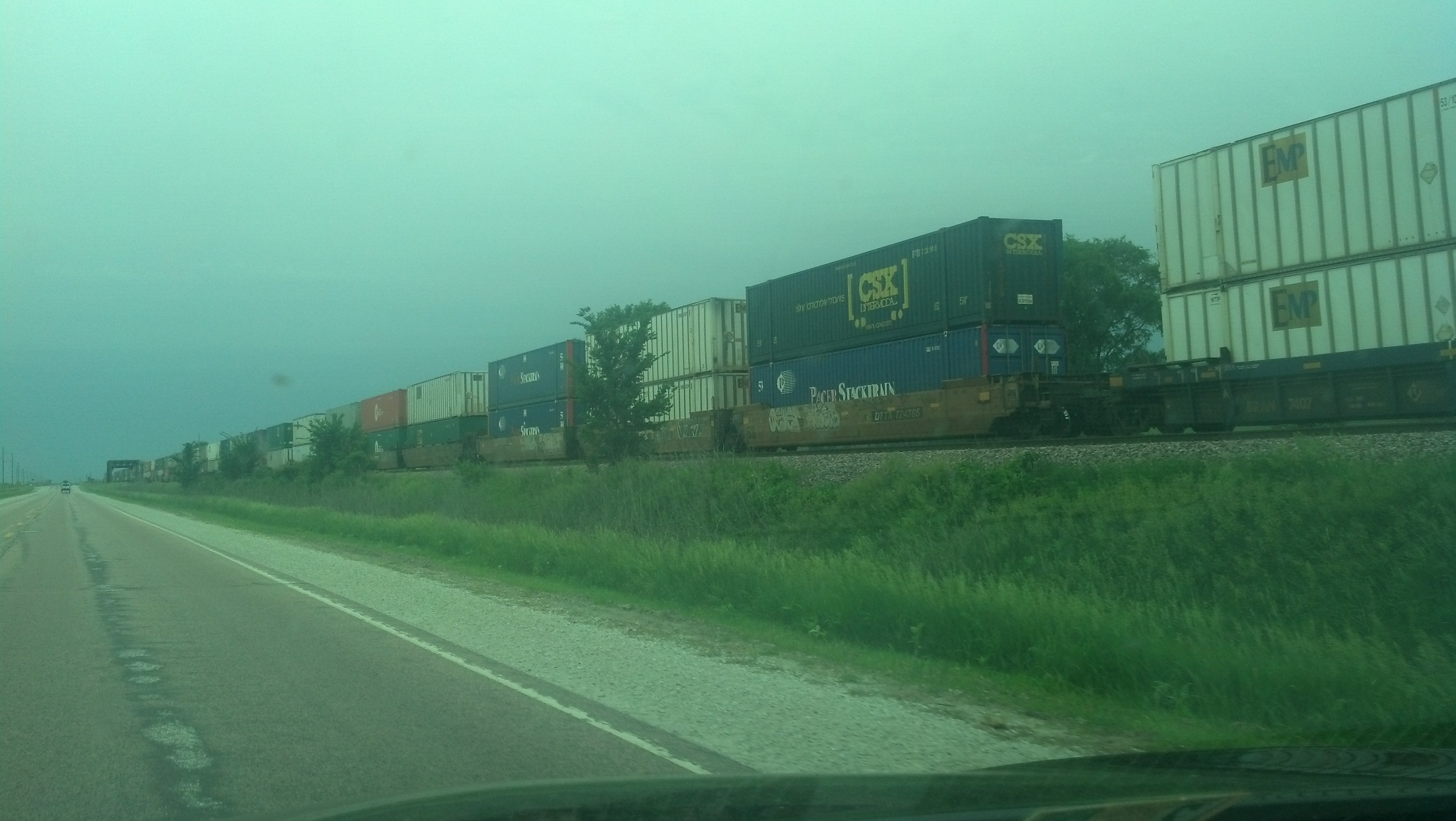
Rail traffic is busy along the Union Pacific. (Photo by Michael E. Grass)
Pingback: The Great Platte River Road Begins | The Lincoln Highway Guide
I really liked this post. Did you do a bunch of historical research before you left, or are you doing it as you go? In any case, it’s really interesting for me.
Thanks. I did a good amount of research before, but more and more is en route, especially as I get farther west. I’ve been coming across places/spots along the way, and then I’ll look into it more and do some additional research, too.
Are the Loess Hills the same as the hills in/near my parents’ birth city, Council Bluffs IA?
That’s correct. More info: http://byways.org/explore/byways/2187
Pingback: A Quick Fast Forward to the Western Terminus | The Lincoln Highway Guide