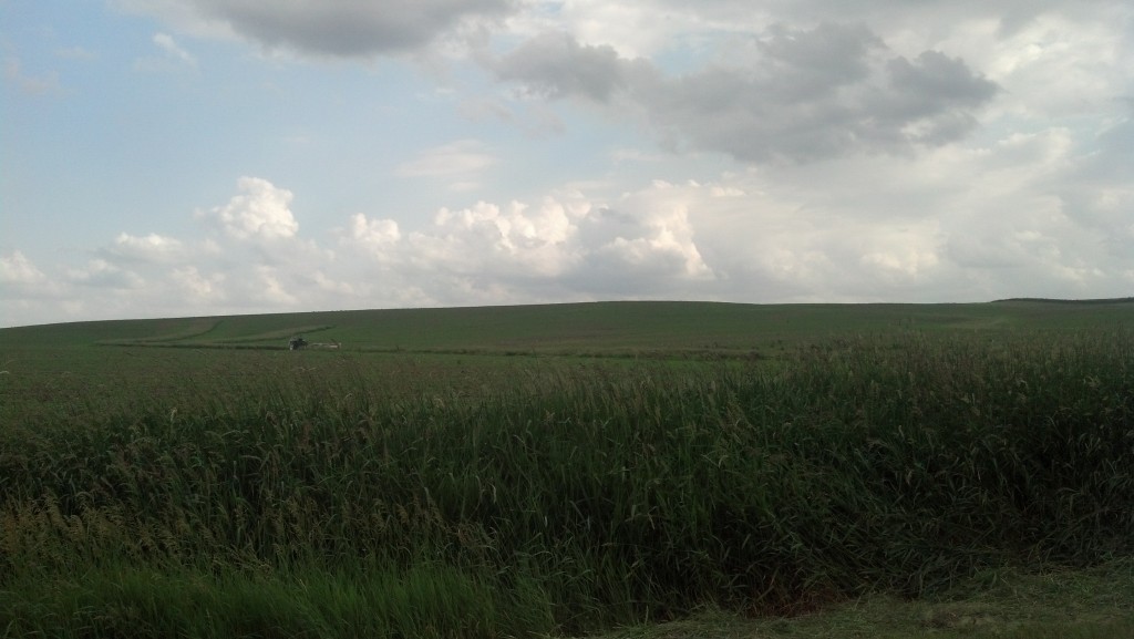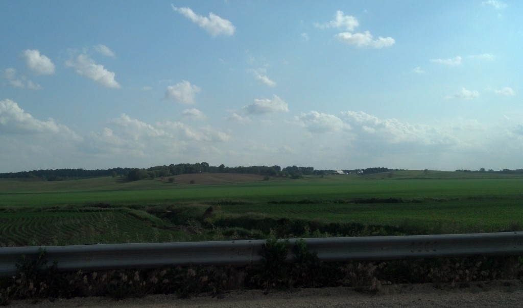
The skies over eastern Iowa, looking south from the Lincoln Highway near Clarence. (Photo by Michael E. Grass)
MOUNT VERNON, Iowa — Climbing out of the Mississippi Valley west of Clinton on the way toward DeWitt and westward to Cedar Rapids, a few things become abundantly clear about Iowa.
For starters, a heavily trafficked Union Pacific railroad line parallels U.S. 30 for much of the way through the state and westward into Nebraska. As I drove, freight trains became a regular presence along the Lincoln Highway.
Iowa is not flat, at least not here. Its handsome farmland spills out over a gently rolling terrain. Any road heading due west cuts across the local topography, which follows the contours of the creeks and rivers that generally run from the northwest to southeast toward the Mississippi.
Post continues below …
There are no mountains here for sure, but Iowa nonetheless is defined by it dramatic low-slung landscape. In parts, the farmland is like a patchwork quilt of different shades of greens and yellows.
It’s far from boring, especially in the moments when you’re cruising along at the optimal top speed — the limit is 65 mph in many sections through eastern Iowa — and the road flies over a Union Pacific train and you’re suddenly at pace or slightly faster than the parallel freight train hauling coal and grain across the state.
Iowa is a place for cloudgazing, too.
Post continues below …

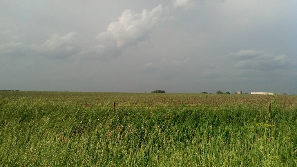
Off the Lincoln Highway’s original 1913 route, looking north southeast of Marion toward an area of inclement weather. (Photo by Michael E. Grass)
But that all depends, I suppose, on the weather conditions. As I breezed through on Wednesday, severe storms were crossing through northern Iowa and into northern Illinois. The northern skies were dark but I was mostly in the sun. Somewhere off on the northern horizon, multiple tornadoes had touched down, including an EF3 twister that heavily damaged the landmark Cattleman’s Steak & Provisions restaurant in Belmond.

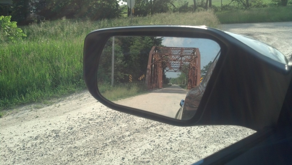
Outside Mount Vernon, Iowa, the original alignment of the Lincoln Highway follows a gravel road. (Photo by Michael E. Grass)
As I noticed back in Clinton, the state of Iowa has very detailed signs marking the Lincoln Highway’s original alignment. Iowa takes the Lincoln Highway very seriously.
For my drive through far eastern Iowa, I primarily followed U.S. 30’s modern divided highway, but chose to take quick diversions off the highway periodically to get a good feel for what the original highway was once like. This way, I had a close-up view of farmers working their land. If you get out to stretch your legs, and I suggest you do, you can smell the earth. You pass through tiny farm towns like Clarence, which are bypassed by U.S. 30.
Going the old way, naturally, offered some surprises, especially in Linn County.
Outside of Mount Vernon, home to Cornell College, the Lincoln Highway’s signs took me off the paved road and onto a gravel one heading generally in a northwesterly direction toward Marion. I soon came across the Lincoln Highway’s Bloomington Road bridge, which served the 1913 Proclamation Route but was bypassed in the 1920s. It’s been largely forgotten since, but still in use by local traffic.
This aging truss bridge on the forgotten country lane provides a window into what traveling through Iowa was like in the early days of the Lincoln Highway. You even might get the feeling you’re driving through a Grant Wood landscape painting.


Pingback: A Quick Fast Forward to the Western Terminus | The Lincoln Highway Guide