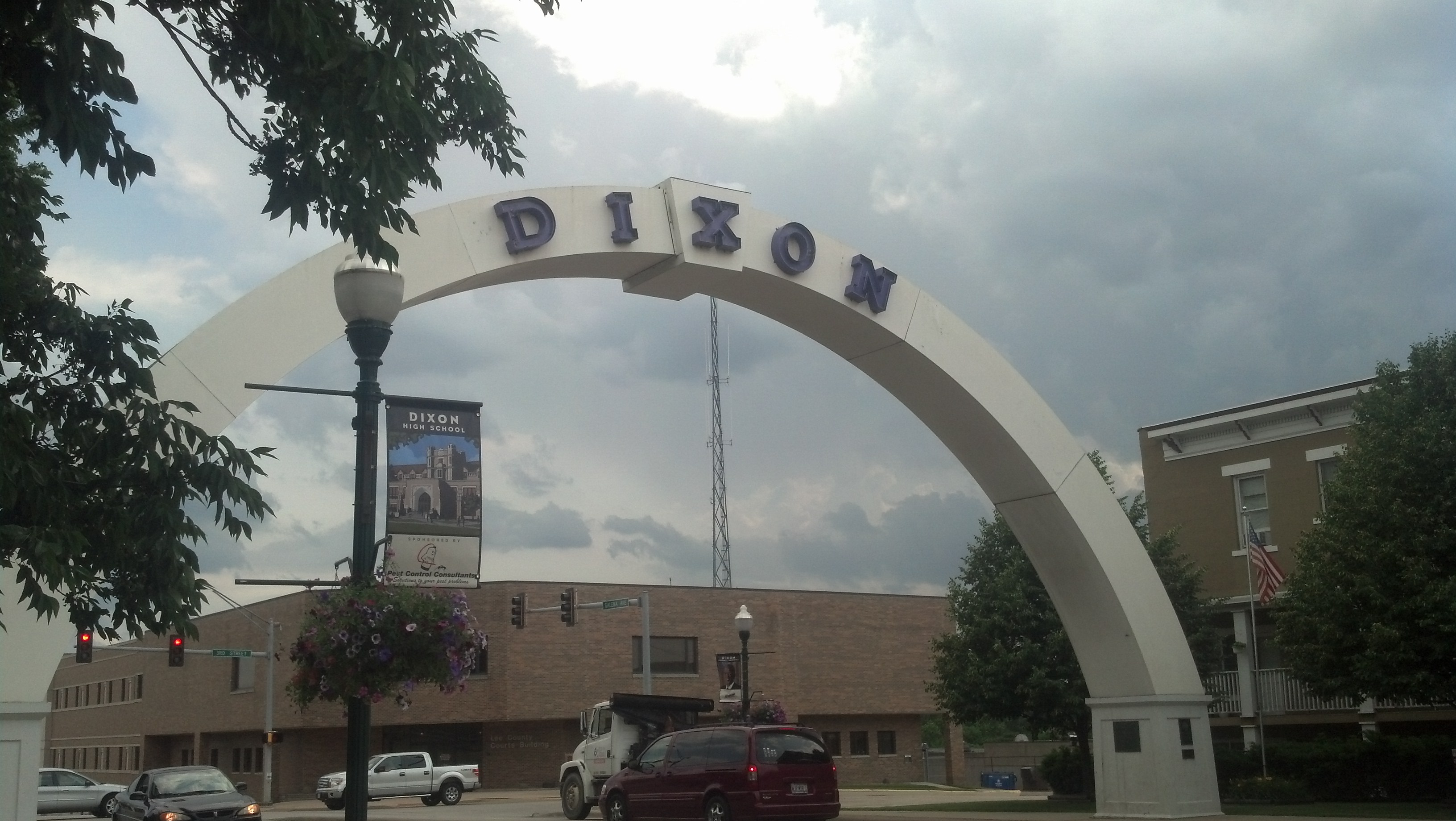
The dark clouds behind the big arch in Dixon, Ill., would blow up into a massive storm as it moved east. (Photo by Michael E. Grass)
STERLING, Ill. — Driving into this Northern Illinois town on Wednesday afternoon, the skies behind me were very, very dark. Had I stuck around in Dixon, the town about 13 miles to the northeast where Ronald Reagan lived as a boy and Abraham Lincoln was stationed as militia captain during the Black Hawk War, I likely would have been pounded by intense rain, wind, hail and who knows what else.

Ronald Reagan Peace and Freedom Park in Dixon, Ill. (Photo by Michael E. Grass)
Thanks to my Weather Channel smartphone app, I knew there was a small but intense storm cell about 10 miles outside Dixon. My current location was in the prediction path’s cone. I could tell from the foreboding skies to the southwest that it wasn’t a benign storm.
After quickly checking out Lee County Courthouse grounds, the Ronald Reagan Wings of Peace and Freedom Park and Dixon’s famous Veterans Memorial Arch over Galena Avenue, I got back on the road to continue on my way.

Abraham Lincoln spoke in Sterling, Ill., in 1856. (Photo by Michael E. Grass)
Fortunately, the path of the Lincoln Highway along the Rock River between Dixon and Sterling kept me just to the north of the storm. But I could see the rain in the distance. I could feel the wind on the car.
Right after I checked out the Lincoln statue in Sterling’s Propheter Park, which marks the spot where Lincoln delivered a speech in 1856 to support the presidential candidacy of Republican John C. Frémont, a tornado warning was issued by the National Weather Service.
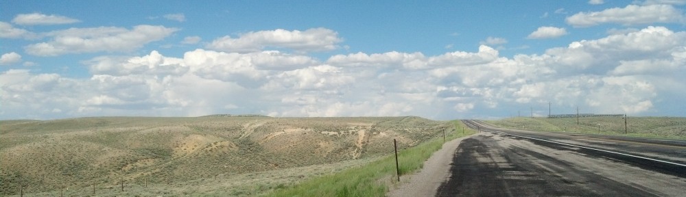
But I was by that point one county away on the safe side of the storm and out of any immediate danger. As I continued west on my way toward Iowa, the severe — but small — storm cell pushing into Dixon had blossomed. The entire eastern horizon in my rear-view mirror became dark.
As I left Joliet earlier in the day, the skies over Northern Illinois were overcast but not necessarily threatening. I checked the weather radar on my smartphone periodically and there was nothing in my way. But heading toward the north and west through the afternoon, it did seem that the skies were becoming more unsettled. Off in the distance, some cloud tops were growing higher. Temperatures were going up as the hours dragged on.
Still, there was no rain in my path. The nearest storms were in southern Wisconsin.
Earlier in the afternoon, I drove through Plainfield, which was hammered by an EF tornado in 1990. Plainfield, where the high school was destroyed in that terrible storm, sticks in my mind because it was used as a case study at a tornado emergency preparedness conference I attended when I was in high school. (At the time, I had helped my assistant principal draft a new tornado shelter plan for our school.)
So I took the weather threat seriously and wanted to move through Illinois quickly but trying to take in as much of the Lincoln Highway as I could.
I followed the Lincoln Highway toward Aurora, where I was hoping to visit the town that most people know as the home of Wayne and Garth from “Wayne’s World.” But I mistakenly followed U.S. 30 to the south of Aurora instead of following the original Lincoln Highway route. U.S. 30 takes a more southerly route across the state before reconnecting with the Lincoln Highway, but I didn’t realize my mistake until I breezing through the countryside near Hinckley and was about 20 minutes south of the Lincoln Highway, which at this point follows State Highway 38 through Dekalb.
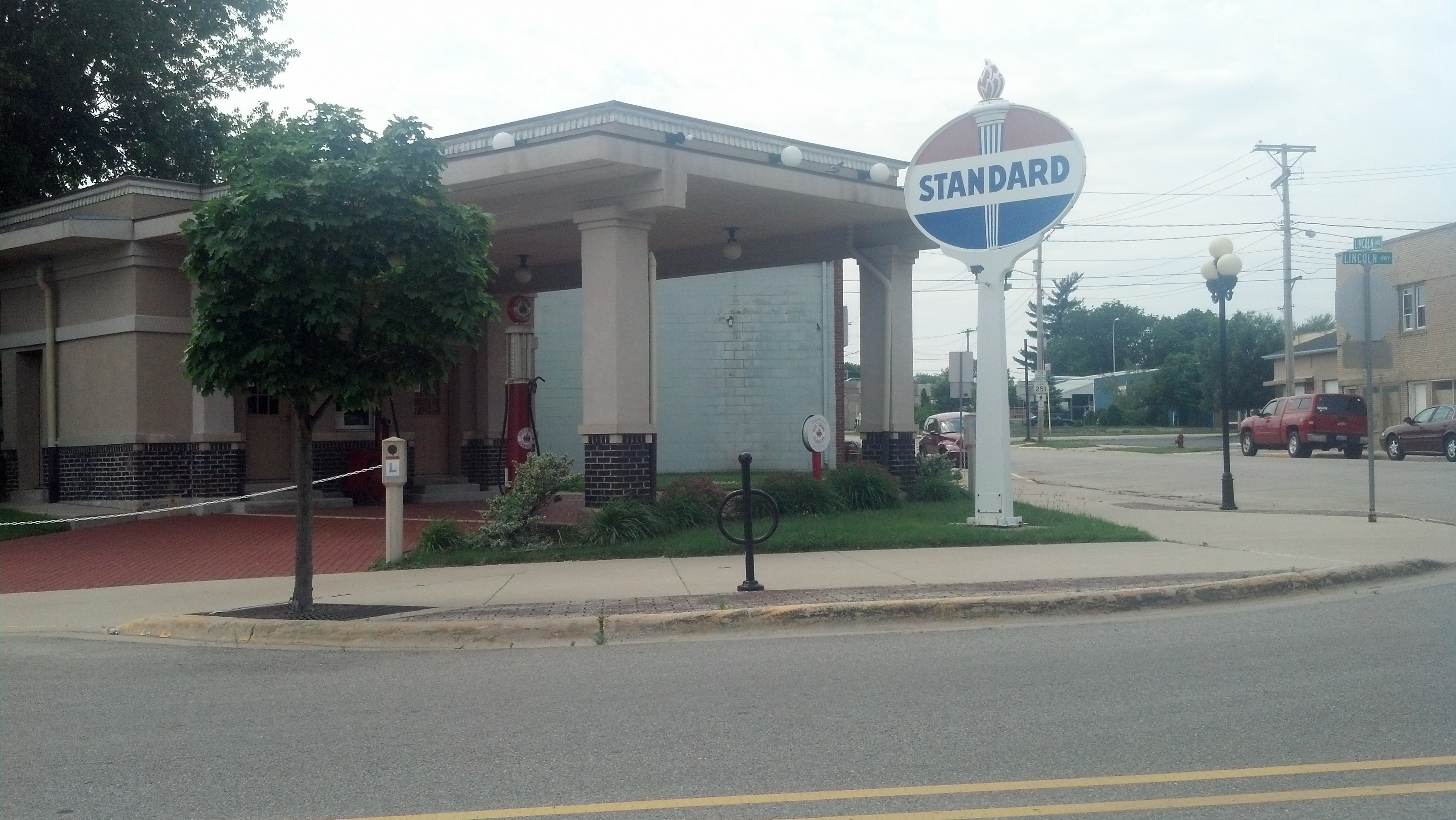
A historic gas station in Rochelle, Ill. (Photo by Michael E. Grass)
I reconnected with the original Lincoln Highway route in Rochelle, where a historic gas station has been transformed into a visitor center and drove through some very rural portions of Northern Illinois.
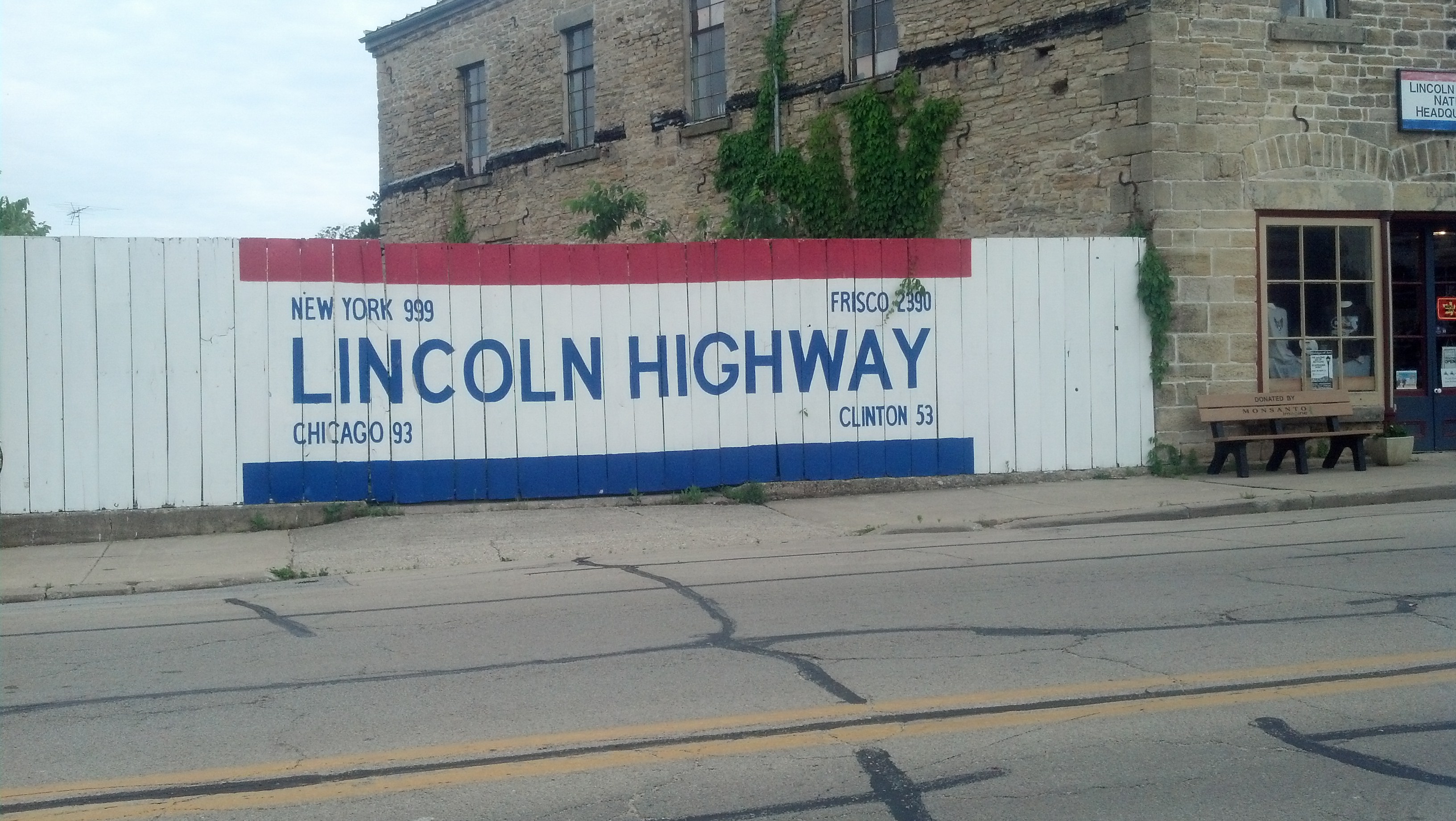
This included Franklin Grove, the tiny town that’s home to the Lincoln Highway Association Tourism Headquarters. This is probably a place I should have stopped off at for a little while and bought some souvenirs, but like everything on Wednesday, I was trying to beat the formation of the storms that were supposed to blow up that afternoon.
And just as I was in Dixon, the storms started to blossom. If I would have been 20 minutes later, I would have gotten nailed there. But I didn’t even get wet.
Those storms exploded on their way toward Chicago, but I fortunately was able to the safe side of the unsettled weather, and take in a good portion of the Lincoln Highway.
The Lincoln Highway Association Tourism Headquarters is located in Franklin Grove, Ill. (Photo by Michael E. Grass)
I’m enjoying following your blog. The photos are terrific. Carry on!
Thanks so much!
Pingback: Cloudgazing and Following Iowa’s Well-Marked Signs | The Lincoln Highway Guide