Railroad Street in Crook, Colo. (Photo by Michael E. Grass)
CROOK, Colo. — Seven or eight years ago, I came across a large but very worn United States Geological Survey map of Colorado in the garbage room of my apartment building in Washington, D.C. I rescued it, naturally — it can be difficult to throw out an old map — and still have it somewhere.
Curiously, there’s a cluster of what appears to be cigarette burns in northeastern Colorado, somewhere in either Sedgwick County or Logan County. (I’ll have to dig out that map when I return home to make certain.)
So now, I get to check out what I’ve nicknamed Colorado’s cigarette-burn country.
To get to this part of Colorado from California Hill across the border in Nebraska, I made a detour from the Lincoln Highway’s primary route west to head into the Centennial State to use the long-controversial Colorado Loop, which links back up with the Lincoln Highway in Cheyenne, Wyo.
There’s a long history to this, but Brian Butko’s very useful guide, Lincoln Highway Companion, has it summed up concisely:
The original route did not include the state, perhaps a foolish decision by [Lincoln Highway Association] officials who announced it at a meeting of governors in Colorado Springs. Denver had been left off the transcontinental railroad and transcontinental telegraph; it was not about to be bypassed again. With on-the-spot pressure from the governor, LHA directors penciled in a Colorado Loop on their way home.
Colorado’s Lincoln Highway auxiliary route, according to the LHA’s official map, heads toward Denver via U.S. 138 and U.S. 6, roughly following the South Platte River before heading due south into the High Plains at a point west of Fort Morgan and then, eventually, west into Denver via Colfax Avenue, also signed as U.S. 40.
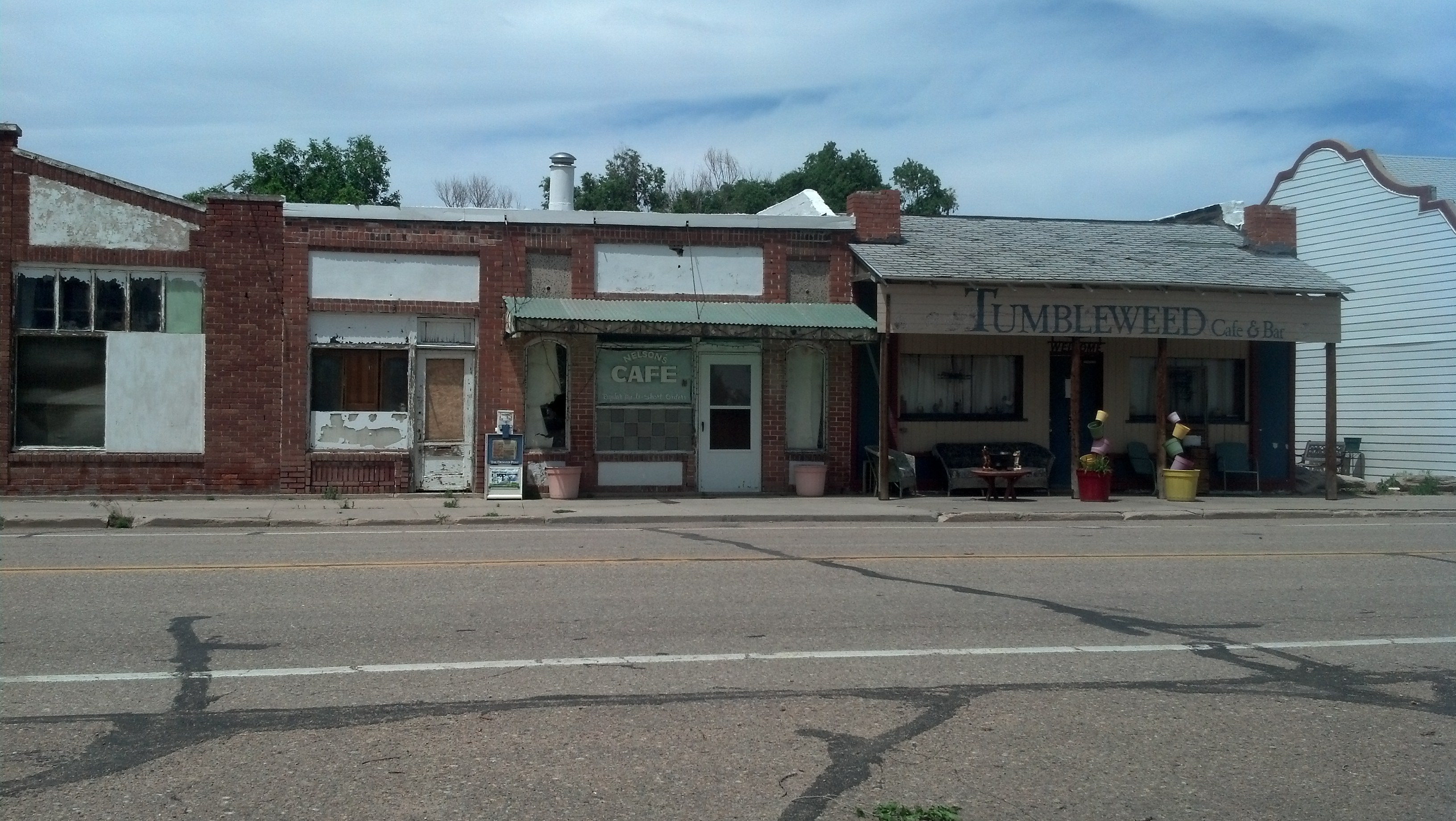
But before that, it heads through the curiously named town of Crook.
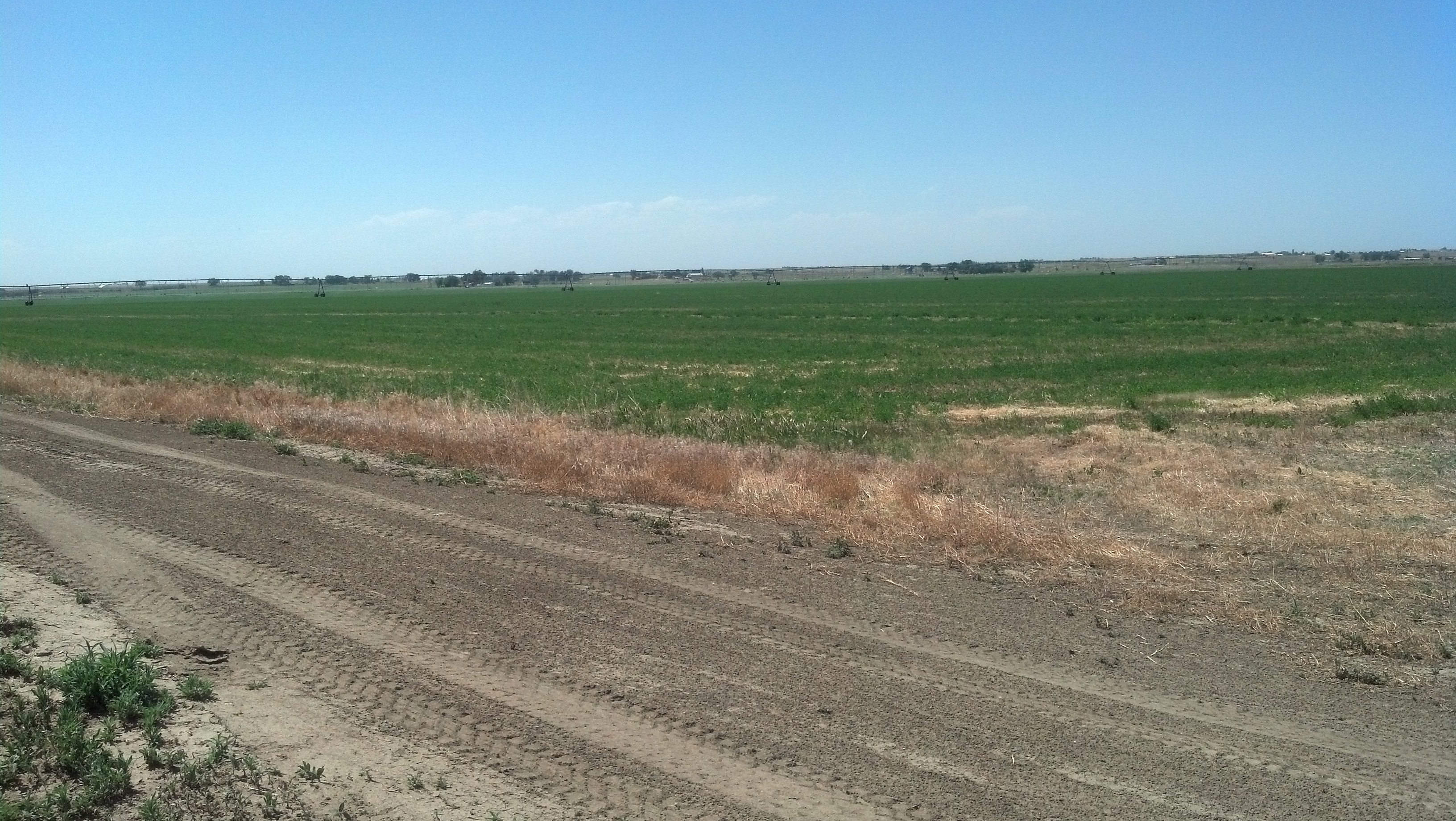
Named after General George Crook, this town was settled by a group of Hollanders bent on farming the dry prairie lands. Although the venture failed, later farming took hold, and today Crook’s modern industry remains rooted in agriculture. Main staples include hay, corn, sugar beets and alfalfa.
There’s no doubt that agriculture is the name of the game out in northeastern Colorado.
I found this town — with a population of 110 people, according to the 2010 Census — to be very quiet, but not entirely deserted. It’s sometimes hard to find good words or phrases that can describe all the small towns I’ve gone through. Since it was late afternoon with temperatures in 90s, I guess it might be best to write that Crook felt ready for a nap. I was too.
***

Waiting for a train to pass through on the Burlington, Northern and Santa Fe Railroad tracks near Sterling, Colo. (Photo by Michael E. Grass)
After passing through Sterling on my way to Fort Morgan (and Boulder, my final destination for this leg of my cross-country trip), I pulled off to check out a historic marker on the side of U.S. 6. It marks an area nearby where Logan County’s first white setter, William Shaw Hadfield, built his first sod house.
The marker was erected by his wife “under the auspices” of the Elbridge Gerry Chapter of the Daughters of the American Revolution.
Elbridge Gerry, the Massachusetts political figure who inspired the term gerrymandering? Nope.
According to the Elbridge Gerry Chapter:
The Elbridge Gerry of Colorado was of lineal descent to him and became known as the “Paul Revere of Colorado” when on August 19, 1864, two Cheyenne Indians came to his ranch to warn him of an impending raid on settlements and ranches by 1,000 Indians. Gerry rode his horse 65 miles to Denver with the news. Messengers were promptly dispatched to the threatened localities and thus prevented harm to the settlers and ranchers.
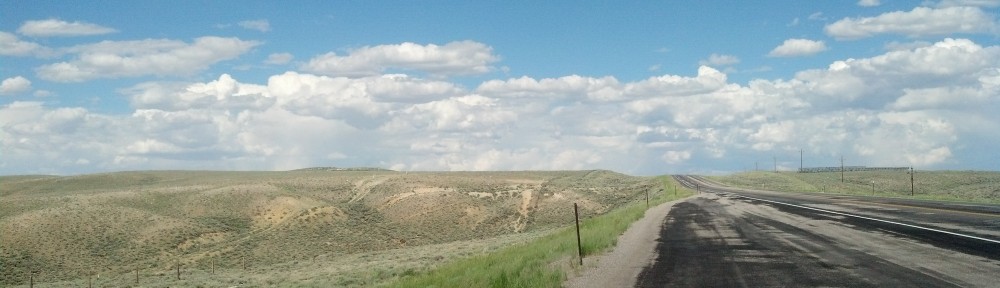
The Colorado Loop route, between Julesburg near the Nebraska border and Fort Morgan, looks like much like Nebraska along the Lincoln Highway. The parallel modern-day highway through the South Platte River valley, Interstate 76, traverses a much more rolling landscape up in the High Plains a few miles away.
There’s also the Lincoln Highway’s unofficial Greeley branch of the Colorado Loop. With plenty of options and not much time, all I wanted was to get into Boulder. So I hopped on I-76 toward Denver on my way to get off the road for a few days to rest up before continuing my cross-country trek.
Off U.S. 6 near Sterling, Colo. (Photo by Michael E. Grass)
Pingback: A Quick Fast Forward to the Western Terminus | The Lincoln Highway Guide