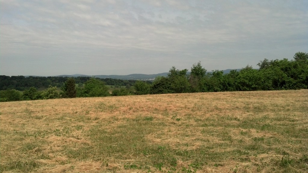
FREDERICK, Md. — I always love driving out of the nation’s capital on roadtrips. There’s always a sense of great anticipation of a scenic drive over the mountains plus the relief of escaping the often hellish traffic conditions in the city.
For years, Interstate 270 has been the first leg of the trip (or last leg on the return trip) between D.C. and my parents’ home in East Grand Rapids, Mich., where I grew up. I’ve driven the route countless times and when I’m driving at a good pace, I can do do the trip solo in about 10 to 11 hours.
The primary route heading connecting the nation’s capital to the Midwest does not have any grand directional signs pointing the way to Chicago or even Pittsburgh or Cleveland. It’s just I-270 North to Frederick, a city of roughly 60,000 people about 45 minutes from the Capital Beltway, depending on traffic. The city and the county that surrounds it is a growing bedroom community for D.C. and Baltimore.
About 20 minutes before Frederick, the gigantic commuter route narrows to two lanes in each direction after being a huge suburban complex of express lanes and local lanes.
For this trip, I could have stuck to the official Lincoln Highway auxiliary route linking D.C. to Gettysburg — which follows the old road, today’s MD-355, to Frederick via a jog up to Mount Airy, Md., and the former National Road — but for a quicker trip, I decided to stick to the Interstate Highway System.
Plus, I wanted to stop at the scenic overlook where I am right now. It’s not necessarily a breathtaking vista — it’s scenic nonetheless — but from here you can catch your first glimpse of the Appalachian Mountains. Beyond Frederick is Catoctin Mountain and beyond that is South Mountain.
The “Blair Witch Project” was set in the relative wilderness somewhere over that ridge, though exurban sprawl around there always made me question why the filmmakers in the movie never stumbled upon a McMansion when they were lost in the woods.
Today, with modern transportation infrastructure conquering the physical terrain, you don’t always appreciate the power of geography and how it shaped our history. The series of valleys that cut through this part of Maryland played a huge role in how military campaigns during the Civil War played out. Frederick was occupied briefly by Confederate forces at different points during the war.
The Battle of Monocacy, which delayed Confederate Gen. Jubal Early’s July 1864 march on Washington (where he was promptly defeated at Fort Stevens off Georgia Avenue in the District of Columbia), played out near this overlook.
The Battle of South Mountain was an important Union victory a few days before the bloody battle of Antietam, which concluded Robert E. Lee’s 1862 invasion of Maryland.
***
As for my personal history, I-270 plays an important role in a story I like to retell about a family roadtrip sometime in the early 1990s. As many of my friends and family know, I have special powers for navigation and spatial orientation.
I have “human GPS” as some people have described me. On family roadtrips, I was the navigator — even when I was very young.
Heading back to Michigan after a trip to visit relatives in Washington, D.C., I was slightly car sick so I took a nap and left the navigation to my parents. That was a bad idea.
When I woke up, we were on some two-lane road in the middle of the woods on a mountain parked next to a sign that said “Beware of Rattlesnakes” as my parents were trying to figure out where we where. (We were somewhere on Catoctin Mountain near Camp David.)
My parents somehow missed the sign for Interstate 70 West — though it’s quite prominent — and continued north past Frederick on U.S. 15 before deciding to try to cut over on backroads to make it back to I-70. We eventually made it back to civilization and escaped any rattlesnake attacks.
As I get ready to leave this scenic overlook at approach the junction with I-70, I’ll be heading north to Gettysburg via U.S. 15.
The Lincoln Highway awaits me there.

