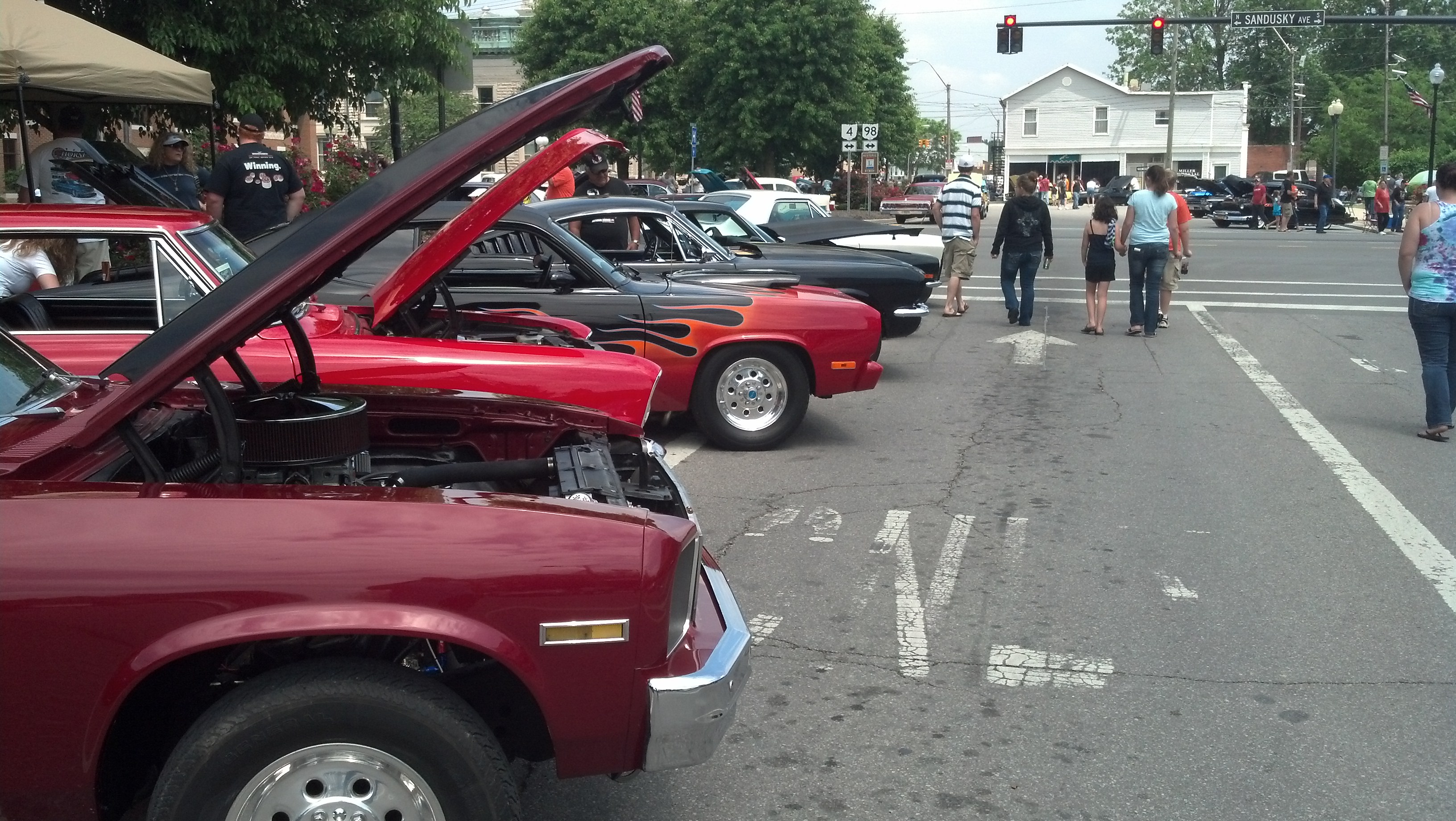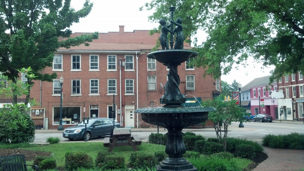
The town square in Lisbon, Ohio (Photo by Michael E. Grass)
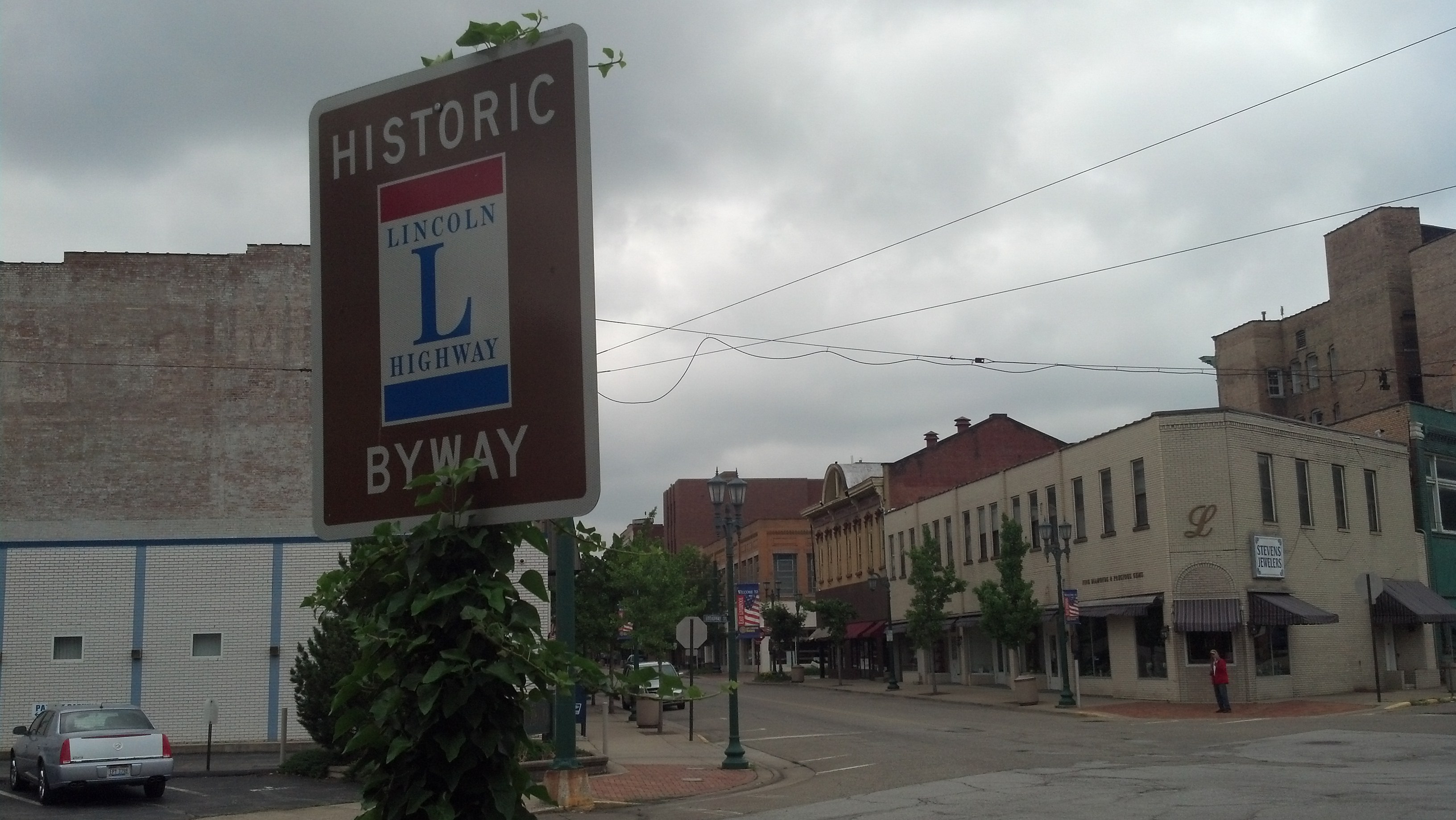
LISBON, Ohio — Before my trek on the Lincoln Highway, I had a hard time envisioning what was out here in this part of eastern Ohio. My previous travels through the Buckeye State had never taken me this way before. I just didn’t know what to expect, except maybe some Amish beard-cutting attacks.
East Liverpool was my creepy introduction to Ohio along the Lincoln Highway. As I continued along U.S. 30 en route to Canton, I encountered five black ravens eating roadkill in the span of two miles. Edgar Allan Poe might have found inspiration along this road.
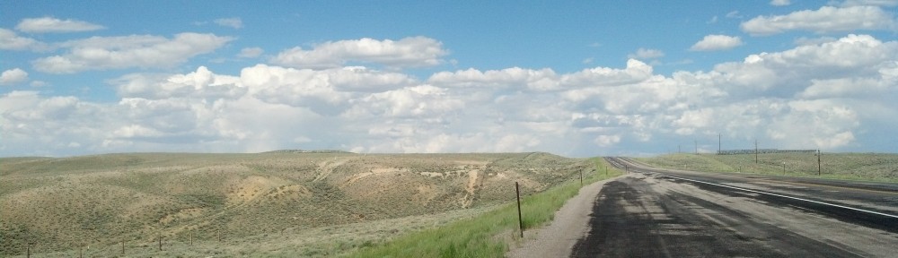
This part of Ohio is pretty hilly, so when this stretch of the highway was improved to eliminate some bends here and there, the older sections were orphaned but still accessible from the main road. I had seen this in Pennsylvania as well, with the older portions signed with the Lincoln Highway standard. Just for kicks, I decided to follow one of these older narrow turnoffs knowing I’d get back on the main road in short order.
As I re-emerged onto U.S. 30, a hulking black pick-up truck with a big Confederate flag waving from its cab zoomed by at a high rate of speed.
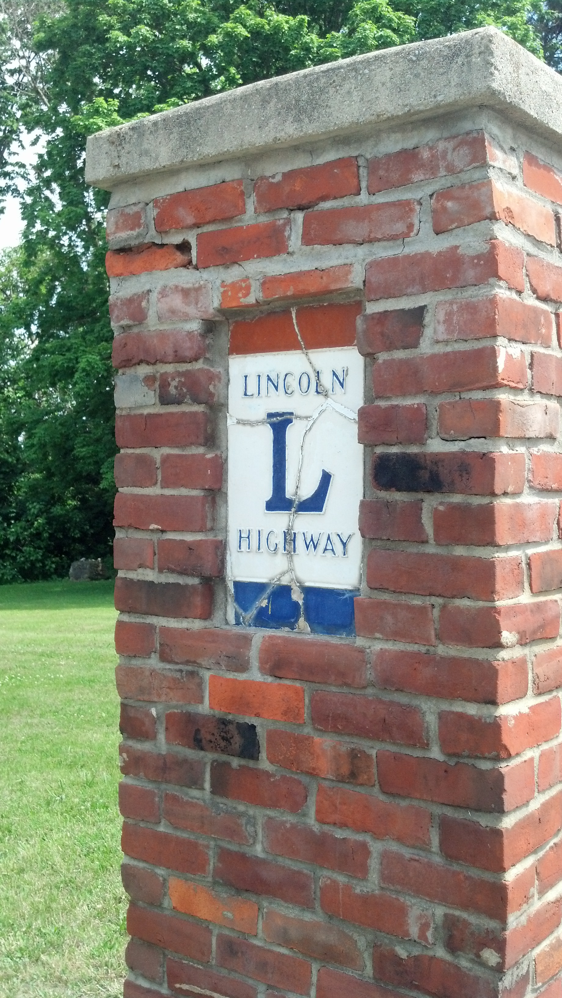
Did he not know he was driving on the Lincoln Highway?
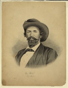
Confederate Brigader Gen. John Hunt Morgan (Library of Congress Prints and Photographs Division)
Then again, I had just driven in the vicinity of West Point, a tiny town just off the Lincoln Highway where Confederate Brigadier Gen. John Hunt Morgan, the “Thunderbolt of the Confederacy,” had surrendered to Union troops after his bold 1,000-mile summer 1864 raid of Kentucky, southern Indiana and Ohio ended at the nearby Battle of Salineville.
The Lincoln Highway in eastern Ohio, so far, had been full of strange surprises.
Then I entered Lisbon, a small village in Columbiana County founded in 1803 as New Lisbon, the year “America’s First Frontier” attained statehood.
Continue reading →